What is recorded here
Kilmore is called a fairy fort because people believed fairies lived there, but it was probably an ordinary ringfort where humans worked, worshipped and forgot themselves. It stood on a steep slope facing southwest, large enough to hold a small community and strange enough to become a fairy story when people stopped remembering its owners. The earth has been levelled, yet the name remains, preserving the shape of a place that once resisted being forgotten.
On a steep SW-facing slope. Depicted as a circular enclosure with the designation 'Fort' on the 1837 ed. of the OS 6-inch map. A report in 1976 (SMR file) recorded that, although largely levelled, the remains of a scarp with an external fosse could still be traced, defining a circular area (diam. c. 37m). The original entrance was not recognisable. Further levelling has since occurred and the rath is no longer visible at ground level.
Compiled by: Patrick F. O'Donovan
Date of upload: 26 August 2011
The monument record does not grant public access. Check the route and ask the landowner before entering private land.
- What survives
- Recorded monument
Places near here
 Ritual siteRitual site, holy tree/bush · 532 yd
 ToomeMountain / peak · 851 yd
 CaveMan-made underground passage · 1520 yd
 St. Columbas R.C. ChurchChurch · 1548 yd
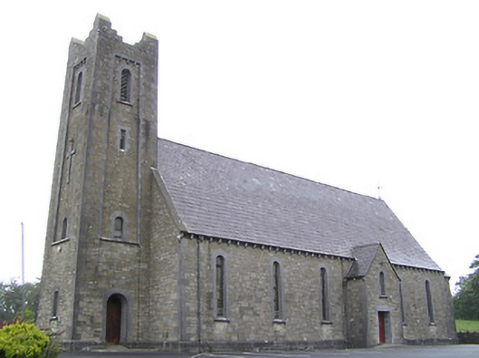 Saint Columba's Catholic Churchchurch/chapel · 1.1 mi
 Cornamucklagh WoodlandWood · 1.9 mi
 Derrycassan WoodsWood · 2.0 mi
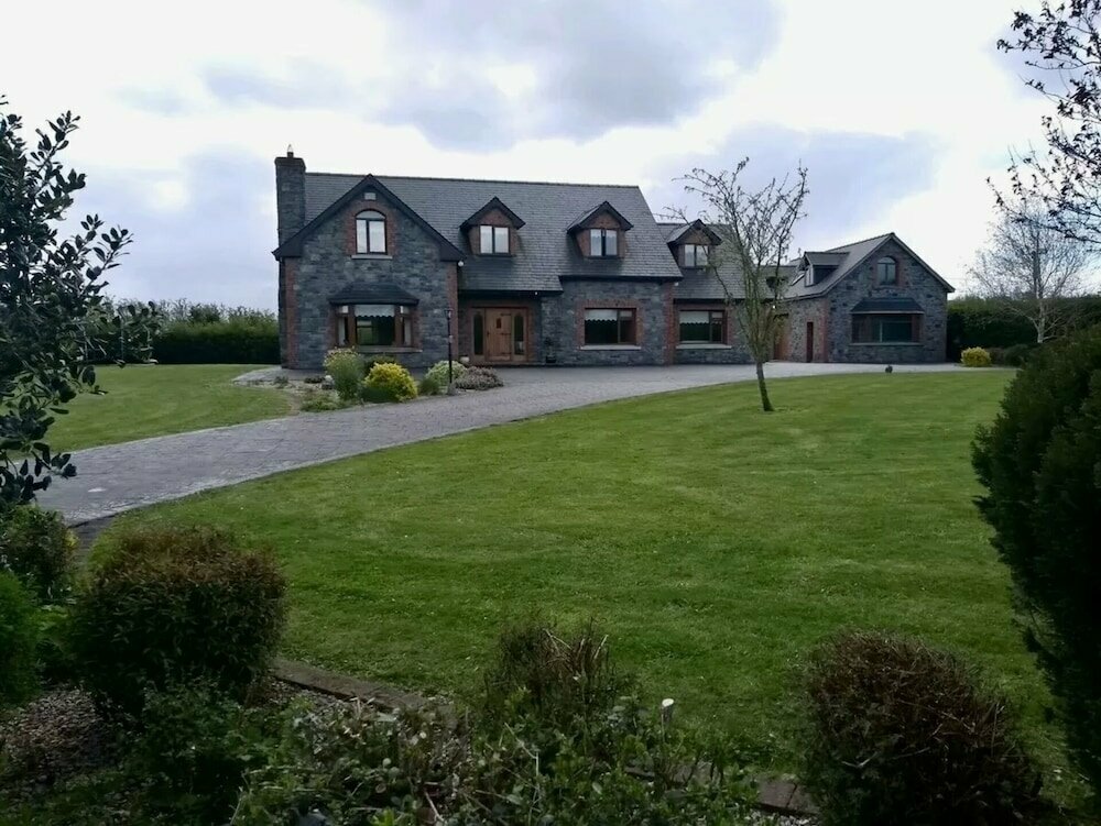 Carnagh LowerMountain / peak · 2.0 mi
 IdicatedCastle, unclassified · 2.1 mi
 Scrabby IslandIslet · 2.7 mi
 Cloone Ho.Castle, unclassified · 2.8 mi
 InchmoreIslet · 3.0 mi