What is recorded here
Kilmore is called a fairy fort because people believed fairies lived there. The earth ring stood on a steep ridge and marked the land long before modern fields. It was levelled in the early 1980s during land-reclamation works. The name still preserves the old idea that the place belonged to something unseen.
To the NE, below the summit, of a prominent, steep-sided NW-SE ridge. Depicted as a circular enclosure with the designation 'Fort' on the 1837 and 1883 eds. of the OS 6-inch map. A report in 1976 (SMR file) recorded a raised subcircular area (c. 28m E-W; c. 25.5m N-S) enclosed by a low bank of earth and stone with slight traces of an external fosse. The original entrance was probably at S. The rath was levelled in the early 1980s during land-reclamation works (local information). Visible as a cropmark on an aerial photograph (SMR file).
Compiled by: Patrick F. O'Donovan
Date of upload: 19 December 2012
The monument record does not grant public access. Check the route and ask the landowner before entering private land.
- What survives
- Recorded monument
Places near here
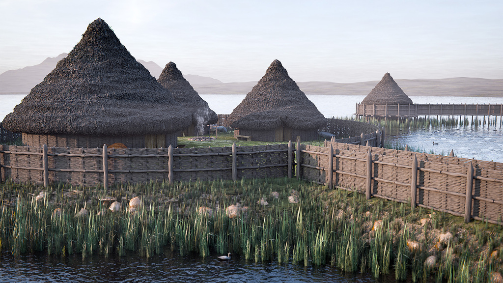 Crannog in Lough GownaCrannog · 716 yd
 CaveMan-made underground passage · 1080 yd
 St. Columbas R.C. ChurchChurch · 1621 yd
 ToomeMountain / peak · 1.0 mi
 Cornamucklagh WoodlandWood · 1.0 mi
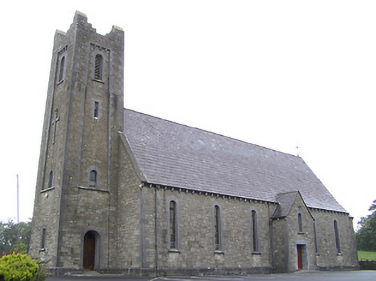 Saint Columba's Catholic Churchchurch/chapel · 1.2 mi
 CornagranMountain / peak · 1.6 mi
 Scrabby IslandIslet · 1.8 mi
 Cloone Ho.Castle, unclassified · 2.0 mi
 Derrycassan WoodsWood · 2.1 mi
 IdicatedCastle, unclassified · 2.7 mi
 InchmoreIslet · 3.0 mi