What is recorded here
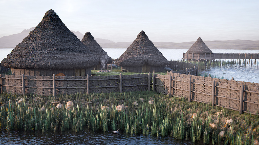
Thirty metres from the Longford shore, a low oval ridge of shattered stone waits beneath the green water. Its even surface spans thirty-eight metres, large enough for a cabin, a hearth and a person watching the rain strike the lake. A second shadow lies two hundred metres south, suggesting a small community rather than a lonely refuge. The bay keeps both ridges quiet, saving their shape for diver hands and patient boats.
In a bay in Lough Gowna, c. 30m to the N of the shoreline. This oval, low-cairn crannog (38m N–S; 16.1m E–W) rises 2m above the lake-bed. Its surface consists of shattered and subangular stones forming an even and level surface. A possible crannog (LF006-077----) lies c. 200m to the SSW.
Compiled by: Christina Fredengren
Date of upload: 13 January 2013
The monument record does not grant public access. Check the route and ask the landowner before entering private land.
- What survives
- Recorded monument
Places near here
 IndicatedCrannog · 1059 yd
 Cornamucklagh WoodlandWood · 1107 yd
 Enclosure in AghanoranEnclosure · 1366 yd
 CornagranMountain / peak · 1.2 mi
 St. Columbas R.C. ChurchChurch · 1.2 mi
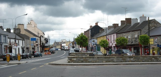 AghaveansMountain / peak · 1.4 mi
 Scrabby IslandIslet · 1.4 mi
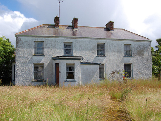 Laureldalehouse · 1.5 mi
 Cloone Ho.Castle, unclassified · 1.6 mi
 Mulrick WoodlandForest · 2.0 mi
 White IslandIslet · 2.7 mi
 IdicatedCastle, unclassified · 3.0 mi
Other information
Photo: Credit not shown in the picture search · Rights wording not checked; contact us if this picture should be removed