What is recorded here
Killyfassy is gone. A circular platform thirty-six and a half metres across, enclosed by an earthen bank and fosse, stood on the summit of a drumlin ridge until the 1960s levelled it. The original entrance was not recognisable even before the destruction, and the site is no longer visible at ground level. Whatever life moved inside that hidden circle has been erased along with the earth that held it.
Levelled in the 1960s (local information). Situated on the summit of a drumlin ridge. An earlier report (OPW 1963) described the site as a circular platform (diam. 36.5m) enclosed by an earthen bank and fosse. Original entrance was not recognisable. Not visible at ground level.
The above description is derived from the published 'Archaeological Inventory of County Cavan' (Dublin: Stationery Office, 1995). In certain instances the entries have been revised and updated in the light of recent research.
Date of upload/revision: 22 December 2008
A fairy fort or earthen ringfort in Killyfassy, likely dating to the early medieval period, was situated on a drumlin ridge and originally featured a circular platform with an enclosing bank and fosse. It was levelled in the 1960s, though local tradition associates such sites with fairy lore and ancient habitation.
The monument record does not grant public access. Check the route and ask the landowner before entering private land.
- What survives
- Recorded monument
Places near here
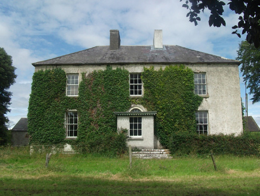 Woodlawnhouse · 1003 yd
 Four Half MoonsEnclosure · 1056 yd
 Dún na SíogaArchaeological place · 1103 yd
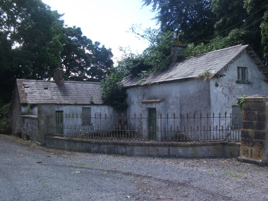 gate lodgegate lodge · 1431 yd
 In Loving Memory of Killian CaseyMemorial · 1457 yd
 Crover Old Castle (in Ruins)Castle, tower house · 1.3 mi
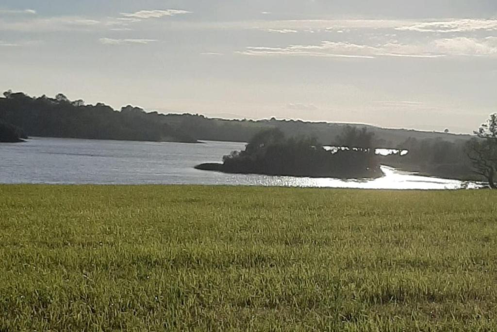 Dinner IslandIslet · 1.4 mi
 CastleCastle, motte · 1.6 mi
 Stony IslandIslet · 1.6 mi
 Deer ParkWood · 2.0 mi
 Muldarry PointHeadland · 2.7 mi
 Ross BayBay · 2.7 mi