What is recorded here
Knocknakilton casts a long shadow over the broken ring, whose eastern bank has surrendered entirely to rain and time. Inside the shallow southern scarp lies a narrow stone chamber, its roof still holding after generations of storm. The collapsed wall now forces entry through a wound in the rock rather than the hidden door people may have once used. The fort has lost much of its shape, yet it still keeps a small, dark room sealed against the sky.
Overall diam. 44.7m
This circular univallate rath is located on a S facing slope at the foot of Knocknakilton mountain. The outline of the enclosure is for the most part discernible, but the bank is considerably damaged and eroded. It has disappeared completely in the E quadrant. Along the S side, as far as the W point, the enclosure is defined by a scarp which rises 1.4m from the external ground level to the interior. The bank around the remainder of the perimeter is a maximum of .4m high externally and .65m high internally.
Souterrain: This is located in the S sector of the interior. It is possibly L-shaped in plan, but only a single rectangular chamber is now accessible. A porthole slab at the E end of the N wall marks the entrance to a presumed passage or chamber which is now inaccessible. The porthole is .45m high and was formerly closed by a stone slab (CKFC 1945). The accessible chamber is 4.6m long WNW-ENE, 1.45m wide and .95m high. The walls are constructed of upright slabs overlain by drystone masonry, and corbelling of the upper courses reduces the chamber width to 1.05m at the level of the 5 roofing slabs. The collapse of portion of the S wall has created an aperture which now provides the only means of access. The original entrance may have been located in another part of the Man-made underground passage.
The above description is derived from J. Cuppage, ‘Corca Dhuibhne. Dingle Peninsula archaeological survey. Ballyferriter. Oidhreacht Chorca Dhuibhne’ (1986), no. 463. In certain instances the entries have been revised and updated in the light of recent research.
Date of upload: 7 August 2013
The monument record does not grant public access. Check the route and ask the landowner before entering private land.
- What survives
- Recorded monument
Places near here
 OutlinedHoly well · 196 yd
 Man-made underground passage in Kilduff (corkaguiny By.)Man-made underground passage · 366 yd
 CummeenMountain / peak · 1.4 mi
 KnockbegMountain / peak · 1.9 mi
 Glanteenassig Forest ParkForest · 2.1 mi
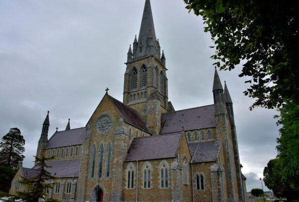 Church in Coill Bhaile Uí FhlaithimhChurch · 2.5 mi
 Church in AnnagapChurch · 2.9 mi
 Statue of Our LadyHeritage attraction · 3.2 mi
 Jerome ConnorMemorial · 3.2 mi
 Graveyard in BallynacourtyGraveyard · 3.4 mi
 Bunaneer StrandBeach / strand · 3.8 mi
 Inch BeachBeach / strand · 4.6 mi