What is recorded here
On a slight rise at the bottom of a SE-facing slope. Circular grass-covered area (diam. 38m N-S) defined by a gapped earthen bank (Wth 3.4-3.5m; int. H 0.3-0.4m; ext. H 1.45m) SSW-W-NE reduced to a scarp (H 0.7m) elsewhere, with an outer fosse (Wth of top 2-4m; Wth of base 1.8-2.2m; D 0.2-0.3m) S-W-NE. There is an entrance (Wth 4m) and causeway at WNW.
Compiled by: Michael Moore
Date of upload: 24 August 2010
The monument record does not grant public access. Check the route and ask the landowner before entering private land.
- What survives
- Recorded monument
Places near here
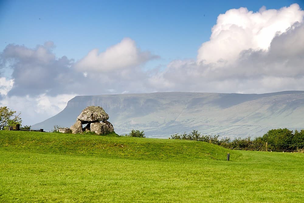 Embanked enclosureFairy fort / earthen ringfort · 417 yd
 Kilcolagh ChurchChurch · 736 yd
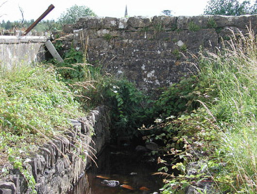 Historic buildingOfficially recorded historic building · 1094 yd
 IndicatedFairy fort / stone ringfort · 1157 yd
 Castle (Site of)Castle, unclassified · 1.3 mi
 Moylung Castle (in ruins)Castle, unclassified · 2.6 mi
 War of Independence Commemorative Military MemorialMemorial · 4.3 mi
 Hughestown WoodForest · 5.0 mi
 Coolnahinch WoodWood · 5.0 mi
 Moon RiverHeritage attraction · 5.9 mi
 King William MemorialMonument · 5.9 mi
 Bawn IslandIslet · 9.0 mi