
What is recorded here
On a rise in an undulating landscape. Subcircular grass-covered area (int. dims 33.6m N-S; 29.8m E-W) defined by a grass-covered stone spread (Wth 5-7m; int. H 0.2-0.5m; ext. H 0.5m generally to 1.6m at S) with intermittently visible facing-stones (original Wth 2m at N). The entrance (Wth 2m) is at ENE, and a rectangular enclosure (RO010-074005-), visible as a grass-covered area (int. dims 29m E-W; 23m N-S) defined by grass-covered stone spreads (Wth c. 2m; H 0.5m) is attached to the perimeter at NW. A house site (RO010-074004-), visible as a rectangular platform (dims 8m x 4m; H 0.2m), is attached to the outside of the perimeter at N, while the perimeter at E is truncated slightly by a N-S field wall. There is a second house site (RO010-074003-) just W of the cashel visible as a rectangular area (ext. dims 7m E-W; 4m N-S) defined by earth and stone banks (Wth 1m; H 0.3m) with an entrance at the W end of the S wall. Field system (RO010-074002-) extends off to the W and S.
Compiled by: Michael Moore
Date of upload: 24 August 2010
The monument record does not grant public access. Check the route and ask the landowner before entering private land.
- What survives
- Recorded monument
Places near here
 Embanked enclosureFairy fort / earthen ringfort · 574 yd
 Kilcolagh ChurchChurch · 1222 yd
 NunneryReligious house, Franciscan Third Order Regular · 1.2 mi
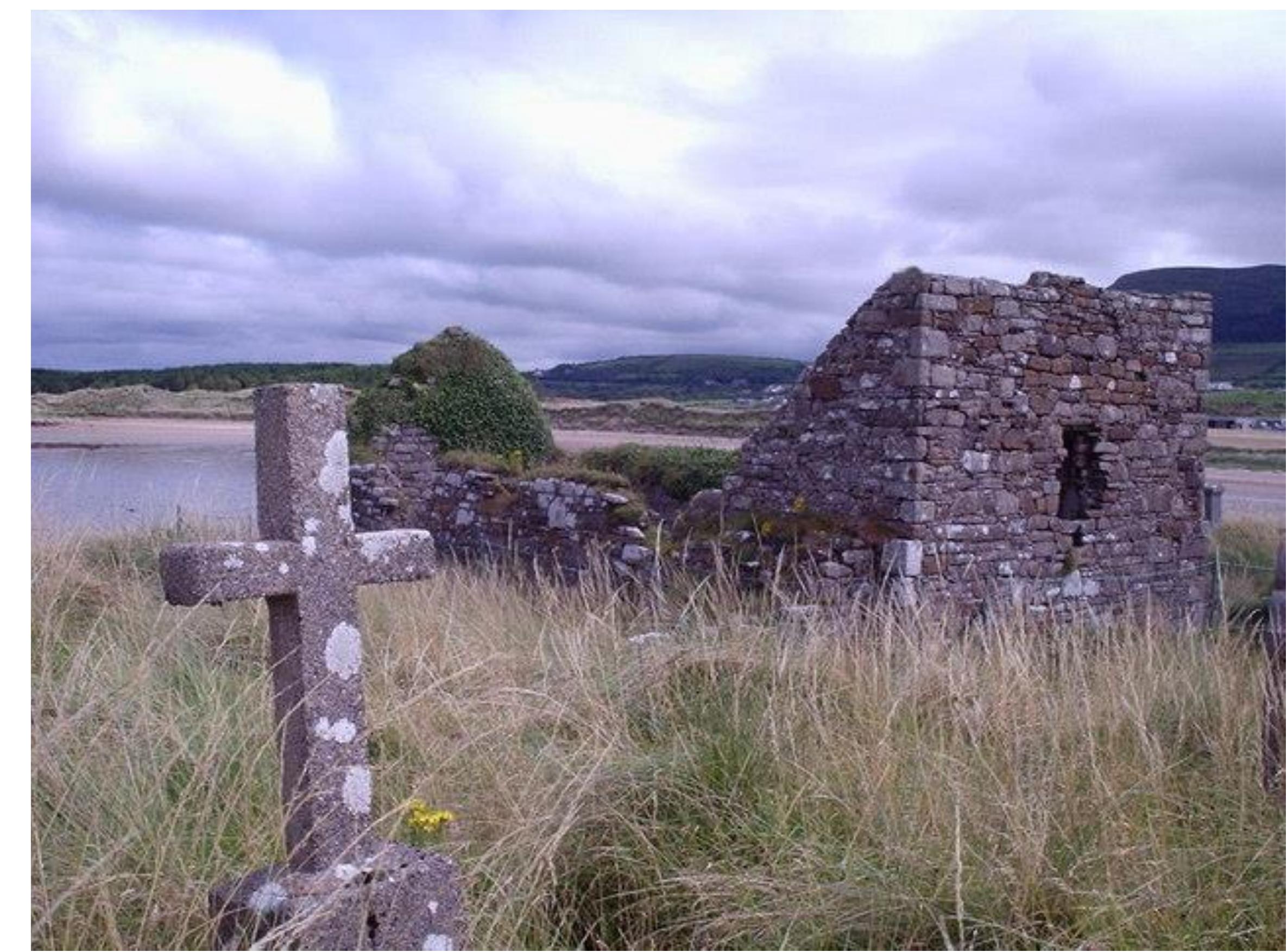 Church (Site of)Church · 1.4 mi
 Castle (Site of)Castle, unclassified · 1.8 mi
 Moylung Castle (in ruins)Castle, unclassified · 3.0 mi
 War of Independence Commemorative Military MemorialMemorial · 3.8 mi
 Coolnahinch WoodWood · 5.3 mi
 Church WoodWood · 5.4 mi
 Bawn IslandIslet · 8.6 mi
 Rose PointHeadland · 8.8 mi
 Inch IslandIslet · 9.1 mi
Other information
Photo: Credit not shown in the picture search · Rights wording not checked; contact us if this picture should be removed