What is recorded here
Located on a W-facing slope in improved pasture. It was first identified by Susan Curran as part of an M.A. thesis with University College Dublin using a LiDAR survey dataset commissioned by Leitrim County Council and the National Roads Authority. This is a subcircular area (dims 28m E-W; 24m N-S) defined by the slight remains of an earthen bank (at NE: Wth of base 6.7m; Wth of top 3m; int. 0.4m; ext. H 0.05m) S-N-E and merging into the slope yet still traceable E-S. The interior slopes down to the W with the prevalent slope but there is no evidence of a fosse or entrance.
Compiled by: Michael Moore
Date of upload: 11 May, 2015
The monument record does not grant public access. Check the route and ask the landowner before entering private land.
- What survives
- Recorded monument
Places near here
 IndicatedTown defences · 387 yd
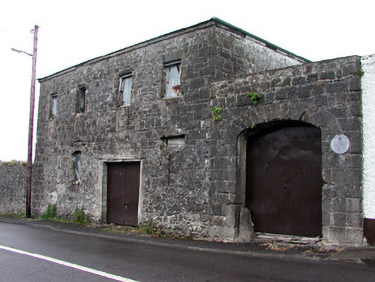 store/warehousestore/warehouse · 390 yd
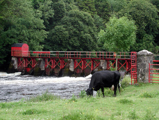 sluice/sluice gatesluice/sluice gate · 423 yd
 Enclosure in JamestownEnclosure · 494 yd
 Patrick Gill Memorial Plaque (IRA)Monument · 1.1 mi
 Robert Strawbridge MemorialMemorial · 1.1 mi
 Wildlife AreaNature reserve · 1.2 mi
 CastlecarraCastle, unclassified · 2.2 mi
 Site of Dangan CastleCastle, unclassified · 2.4 mi
 Moon RiverHeritage attraction · 2.6 mi
 Mullinashee WoodForest · 4.2 mi
 InishmoylinIslet · 4.4 mi