What is recorded here
In grassland immediately E of the driveway into Highpark House located 55m to S. Outline of oval-shaped area (approx. diam. 21m) visible on Digital Globe orthophoto taken 2011-13. Clearly visible as an oval-shaped area enclosed by a bank with possible entrance gap at E on Google Earth orthoimage taken 05/04/2006. Close proximity to Highpark House could suggest that this was a designed landscape feature associated with landscaping of the demesne lands.
See attached Google Earth orthophotos taken 05/04/2006 and 19/11/2019
Compiled by: Caimin O’Brien
Date of upload: 2 June 2020
The monument record does not grant public access. Check the route and ask the landowner before entering private land.
- What survives
- Recorded monument
Places near here
 Highpark Housecountry house · 104 yd
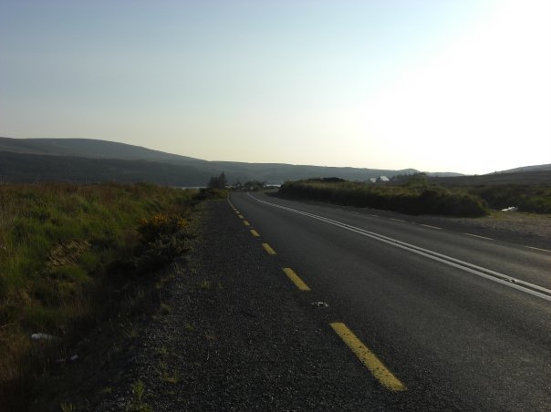 RoadRoad, road/trackway · 1119 yd
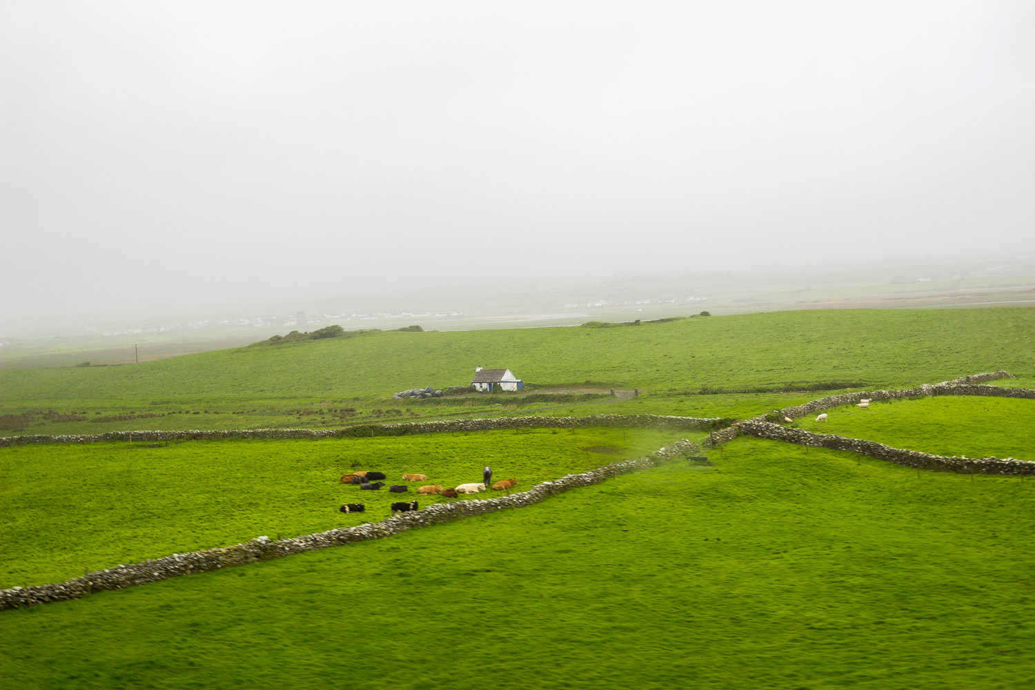 BarrowBarrow, unclassified · 1198 yd
 Enclosure in CloghnadrominEnclosure · 1210 yd
 Bawn in CarrigarreelyBawn · 1505 yd
 Greenan CastleCastle · 1.2 mi
 Wych ElmWych Elm · 1.6 mi
 St Lawrence's WellSpring · 1.7 mi
 Graveyard in AbingtonGraveyard · 3.6 mi
 Skool HillMountain / peak · 4.7 mi
 Banoge's WellSpring · 4.8 mi
 Campus MapVisitor information · 4.9 mi