What is recorded here
Fairy forts are human ringforts misnamed, often by people who would not own up to building them or remember doing so. In Grenagh South the earth still draws a clear circle beside the farm, with a causeway through the outer bank where an entrance once cut the ring. That much is fact. The fairy part is a story people told later, perhaps to keep the place strange instead of explaining it.
In level pasture, E of farm house. Circular area (28.7m N-S; 27.4m E-W) enclosed by scarp (max. H 1.5m), with slight internal lip W->NE (max. H 0.6m); external fosse and outer earthen bank (H 1.6m) survive all round. Scarp less well defined to E, opposite gap (Wth 2m) in outer bank, causewayed.
The above description is derived from the published 'Archaeological Inventory of County Cork. Volume 3: Mid Cork' (Dublin: Stationery Office, 1997). In certain instances the entries have been revised and updated in the light of recent research.
Date of upload/revision: 14 January 2009
The monument record does not grant public access. Check the route and ask the landowner before entering private land.
- What survives
- Recorded monument
Places near here
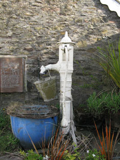 water pumpwater pump · 386 yd
 St Laghteen's Roman Catholic Churchchurch/chapel · 398 yd
 Grave YdGraveyard · 805 yd
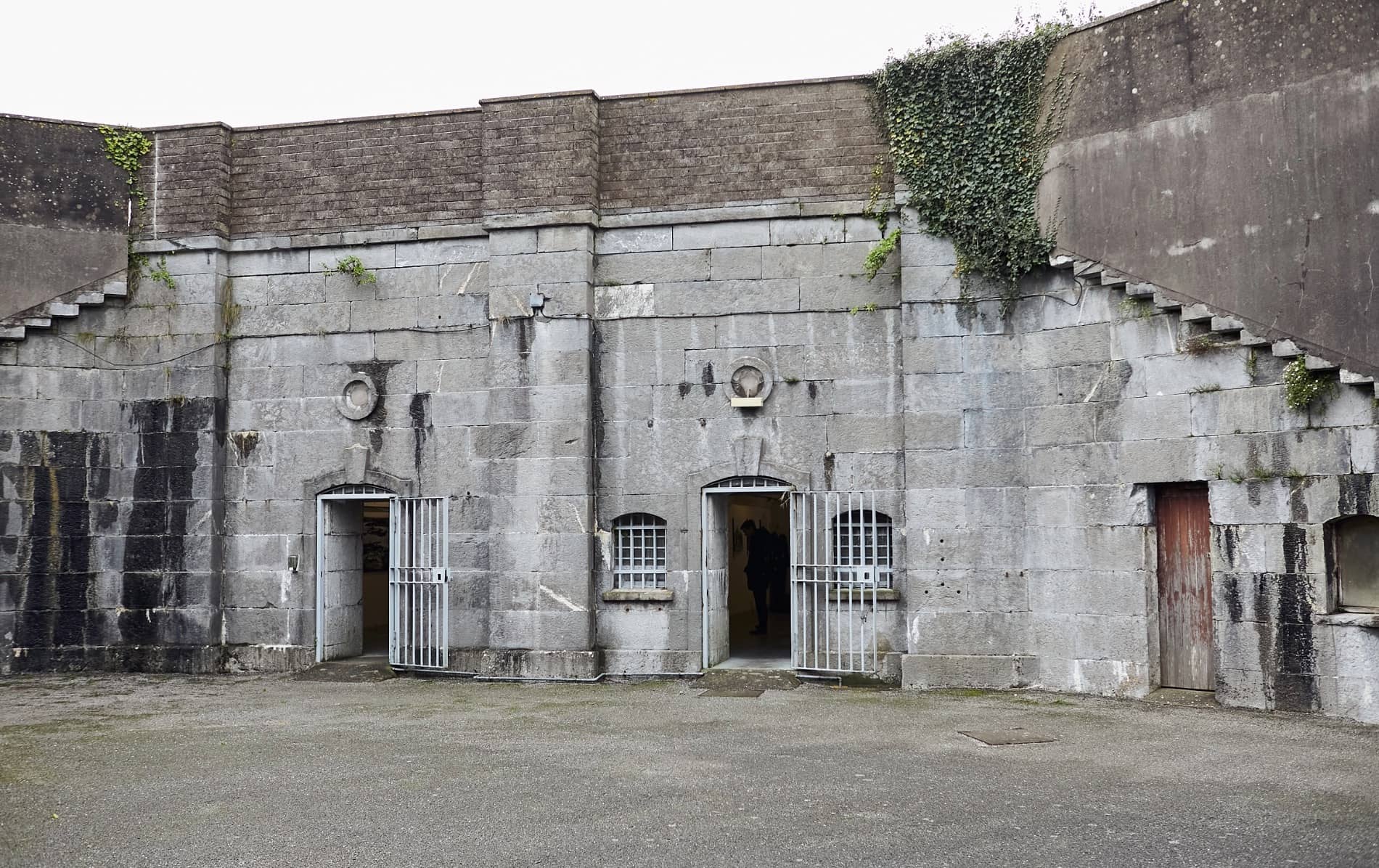 Enclosure in BallymorisheenEnclosure · 878 yd
 Pairc Ath Na hEornaMemorial · 1.6 mi
 Castle (Site of)Castle, Anglo-Norman masonry castle · 1.7 mi
 Graveyard in KilmonaGraveyard · 2.1 mi
 Rock HillMountain / peak · 2.2 mi
 Lyradane MountainMountain / peak · 2.2 mi
 Garrycloyne Castle (in Ruins)Castle, tower house · 2.7 mi
 St John's WellSpring · 4.0 mi
 BatsVisitor information · 4.5 mi