What is recorded here
Situated on a low NW-SE rise in a fairly low-lying position between drumlins, but overlooking Greaghlone or Beagh Lough, the E shore of which is c. 225m to the W. It is depicted as a circular embanked enclosure (ext. diam. c. 35m) on the 1834 edition of the OS 6-inch map where it is described in gothic lettering as a ‘fort’, and as an arc of hachures SE-W on the 1907 edition. The perimeter could be incorporated into a field bank and hedge SE-W (Chord 31m), which is built on a scarp (at SW: H 1.65m).
The above description is derived from the published 'Archaeological Inventory of County Monaghan' (Dublin: Stationery Office, 1986). In certain instances the entries have been revised and updated in the light of recent research.
Date of revision: 25 August 2017
The monument record does not grant public access. Check the route and ask the landowner before entering private land.
- What survives
- Recorded monument
Places near here
 IndicatedFairy fort / earthen ringfort · 795 yd
 NorthlandsWood · 833 yd
 farm housefarm house · 869 yd
 BarrowBarrow, ring-barrow · 926 yd
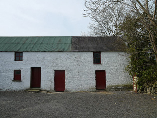 farmyard complexfarmyard complex · 1.2 mi
 RaferaghMountain / peak · 1.4 mi
 Taghart South ForestForest · 1.7 mi
 Drumerlough MoreMountain / peak · 1.8 mi
 Giants GraveArchaeological place · 2.9 mi
 Bawn in LisdrumskeaBawn · 3.1 mi
 Green IslandIsland · 3.2 mi
 Bush IslandIslet · 3.5 mi