What is recorded here
In pasture, on gentle NE-facing slope. Roughly circular area (31.4m N-S; 26.2m E-W) enclosed by earthen bank (int. H 0.25m; ext. H 0.65m) SSE->NNW, and by field boundary NNW->NE which probably overlies bank. From NE->SSE there is no trace of enclosing element but edge of enclosure is marked by gradual slope down from interior into marshy area. Field boundary runs along base of bank WNW->NNW. Interior under pasture and slopes down to E.
Compiled by: Denis Power
Date of upload: 26 August 2011
This remains an important historical record, but the official description says the monument is no longer visible or has been destroyed. The monument record does not grant public access. Check the route and ask the landowner before entering private land.
- What survives
- No visible remains or recorded as destroyed
Places near here
 Grange Househouse · 692 yd
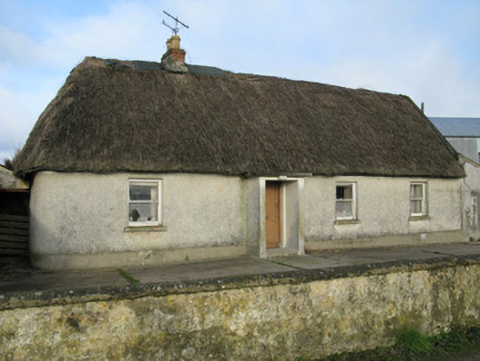 farm housefarm house · 733 yd
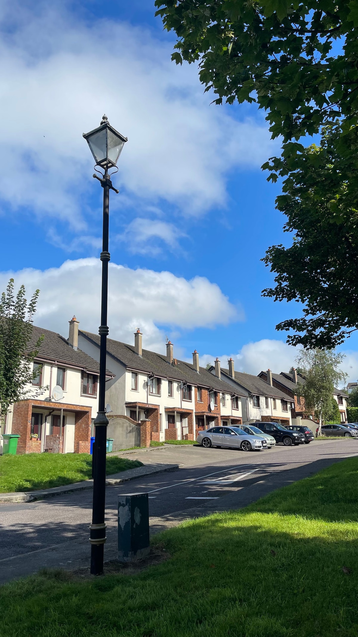 Lissanaska HachuredFairy fort / earthen ringfort · 784 yd
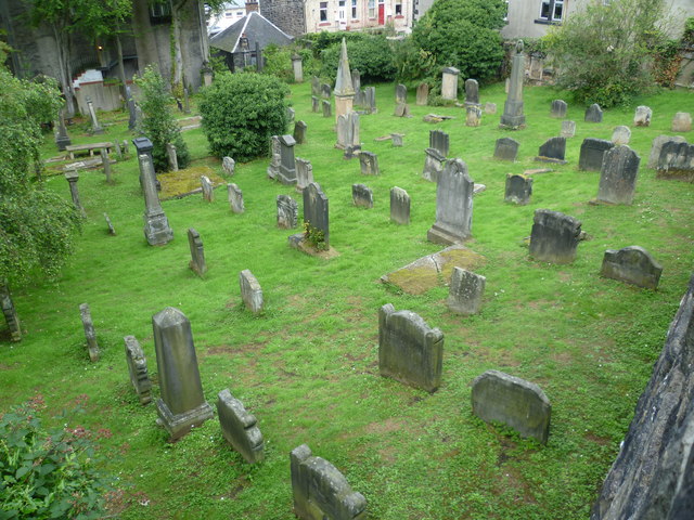 Burial GroundGraveyard · 851 yd
 Castle MahonCastle · 2.2 mi
 Templars Castle (in ruins)Castle, Anglo-Norman masonry castle · 2.3 mi
 European ashEuropean ash · 2.8 mi
 LaghtpatrickSpring · 3.4 mi
 Sunday WellSpring · 3.7 mi
 Limerick GreenwayWalking route · 5.7 mi
 Sugar HillMountain / peak · 6.9 mi
 Ballagh MountainMountain / peak · 7.1 mi