What is recorded here
Fairy fort in Gortnalug: a 25m earthen ring on a drumlin slope in County Leitrim, hidden from maps and most aerial views yet caught in one photograph. It may have been a home, a boundary marker or a child's mound game, but its shape survives where memory failed. The land kept the circle long after people stopped naming it.
Situated towards the top of the S-facing slope of a drumlin. It is not depicted on any OS map, but a circular enclosure (diam. c. 25m) is visible on aerial photographs (OSAP: 4/1025-6). It is not visible at ground level in pasture and does not appear on other aerial images.
The above description is derived from 'The Archaeological Inventory of County Leitrim' compiled by Michael J. Moore (Dublin: Stationery Office, 2003). In certain instances the entries have been revised and updated in the light of recent research.
Compiled by: Michael Moore
Date of upload: 23 September 2008
Amended; 5 December, 2019
The monument record does not grant public access. Check the route and ask the landowner before entering private land.
- What survives
- Recorded monument
Places near here
 Tober RonanHoly well · 1140 yd
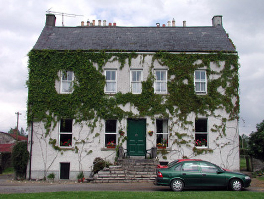 The Castlehouse · 1483 yd
 indicatedBawn · 1513 yd
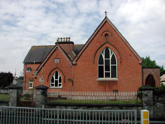 Hunt Memorial Parochial Hallchurch hall/parish hall · 1600 yd
 Turlough O'Carolan MonumentHeritage attraction · 1616 yd
 Ch. on site of AbbeyChurch · 1668 yd
 Giant's GraveArchaeological place · 1.7 mi
 Sessile OakSessile Oak · 2.3 mi
 Little IslandIslet · 2.3 mi
 Duck IslandIslet · 2.4 mi
 Lawson's CypressLawson's Cypress · 2.6 mi
 CastleCastle, tower house · 2.9 mi