What is recorded here
Located within Mohill town, on the E bank of a N-S stream that runs into Lough Rinn c. 2.5km to the S at the nearest point. Henry Crofton (d. 1643) was one of only four English or Scottish undertakers to have taken up residence in Leitrim by 1622 (MacCuarta 1999, 130-1). Only part of a bawn wall (L 46m) extending NE from the base of a circular corner-tower (ext. diam. 5m; H 3.3m) remain of what was a 17th-century house and bawn. An 18th-century five-bay, two-storey building, owned by the Crofton family (Turley 1944, file no. 146) had become a police station by 1837, but the family had moved to Clooncahir just outside the town by then (Lewis 1837, vol. 2, 376). The castle later became a school, but the tower of the bawn was reduced to its present height (H 3.35m) only in 1977 (Oates 1977). Archaeological testing (19E0054) on the site of an extension to the library on Castle St. identified the base of another circular tower (ext. diam. c. 5m) from the bawn which is c. 25m NW of the surviving tower. It was excavated under the same licence and is only one course high. An excavated NW-SE wall SE of the tower is from a later structure and is likely to be from the large post-medieval house depicted on the 1835 edition of the OS 6-inch map. From the excavated tower the bawn wall is likely to have run N, following the line of Crooked Lane before turning SE to the site of the original house. The bawn would therefore have been a polygonal area (dims c. 75m NW-SE; c. 30-60m NE-SW). The remains of the excavated tower are preserved beneath the pavement outside the library. (Hull 2019; excavations.ie: 2019:590)
Compiled by: Michael Moore
Date of upload: 6 December 2019
Amended: 28 October 2020
Located within Mohill town, on the E bank of a N-S stream that runs into Lough Rinn c. 2.5km to the S at the nearest point. Henry Crofton (d. 1643) was one of only four English or Scottish undertakers to have taken up residence in Leitrim by 1622 (MacCuarta 1999, 130-1). Only part of a bawn wall (L 46m) extending NE from the base of a circular corner-tower (ext. diam. 5m; H 3.3m) remain of what was a 17th-century…
From the National Monuments Service (Archaeological Survey of Ireland) record LE032-067002
The monument record does not grant public access. Check the route and ask the landowner before entering private land.
- What survives
- Recorded monument
Places near here
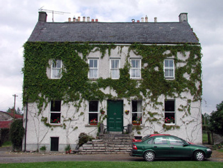 The CastleHouse · 46 yd
 Mohill Presbyterian ChurchChurch/chapel · 92 ydTurlough O'Carolan MonumentHeritage attraction · 164 ydChurch on site of AbbeyChurch · 208 ydTober RonanHoly well · 455 ydGiant's GraveArchaeological place · 1.6 miLittle IslandIslet · 2.0 miDuck IslandIslet · 2.0 mi
 Lawson's Cypress2.1 mi
 Tuliptree2.1 mi
 Lough Rynn HouseCastle · 2.2 mi
 Cavan & Leitrim RailwayMuseum · 4.9 mi
Pictures: National Inventory of Architectural Heritage; jonleebotany, Wikimedia Commons · CC0; Jean-Pol GRANDMONT, Wikimedia Commons · CC BY 3.0; SE Keenan, Wikimedia Commons · CC BY-SA 4.0; Reading Tom, Wikimedia Commons · CC BY 2.0
More castles and forts in County Leitrim · All of County Leitrim
What do you know about this place?