What is recorded here
Fairy fort in Gortnacreha Upper is a broken earthen ring on a sharp north-facing slope in County Limerick. Its bank still stands about a metre high inside and a little higher outside, with a shallow ditch beyond, enclosing a wide oval of grass and scrub. The south half tilts down toward the north, as if the ground itself leans into the sky. Cattle may have walked it for centuries, forgetting it was ever a boundary at all.
In pasture, on sharp N-facing slope. Circular area (diam. 28m) enclosed by earthen bank (int. H 1m; ext. H 1.2m) with an external fosse (D 0.7m; Wth 1.8m). Interior, mostly under pasture but with some scrub cover, has a level N half but S half slopes down to N. Field boundaries which abutted enclosure at E and N have been removed.
Compiled by: Denis Power
Date of upload: 26 August 2011
The monument record does not grant public access. Check the route and ask the landowner before entering private land.
- What survives
- Recorded monument
Places near here
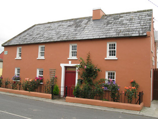 Áras Ídehouse · 784 yd
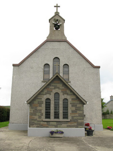 Saint Ita's Catholic Churchchurch/chapel · 893 yd
 CastleCastle, unclassified · 1282 yd
 Garbally WellSpring · 1.1 mi
 BarrowBarrow, ditch barrow · 1.4 mi
 IndicatedFairy fort / earthen ringfort · 1.4 mi
 Mayne Ho.Castle, unclassified · 1.7 mi
 Sunday WellSpring · 2.2 mi
 European ashEuropean ash · 4.8 mi
 Famine stoneMemorial · 5.3 mi
 KnockfeerinaMountain / peak · 5.7 mi
 Ballagh MountainMountain / peak · 8.0 mi