What is recorded here
Forty-six metres of collapsed earth and shadow in poor low-land, large enough to swallow a whole village memory. The bank and fosse have surrendered to vegetation, yet the ground still holds the shape of a threshold. Perhaps people lived there, loved there, and vanished so completely that even the entrance forgot which way it faced.
Enclosure described in 1942-3 as following; 'A platform on the edge of which there is a bank. Outside there is a fosse. The entrance seems to have been on the south side but the whole monument is so collapsed that it is not possible to be certain. The overall diameter is 150' (46m). The bank and fosse are densely overgrown. Situated in poor low-land' (O'Kelly 1942-3, 229). Cropmark of levelled enclosure visible today on Digital Globe aerial photographs.
Compiled by: Caimin O'Brien
Date of upload: 2 March 2020
The monument record does not grant public access. Check the route and ask the landowner before entering private land.
- What survives
- Recorded monument
Places near here
 Enclosure in FedamoreEnclosure · 1044 yd
 Carnane RockNamed rock · 1064 yd
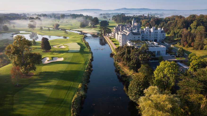 Enclosure in EnaghroeEnclosure · 1084 yd
 Fedamore Housecountry house · 1475 yd
 Bawn in SkoolhillBawn · 1.2 mi
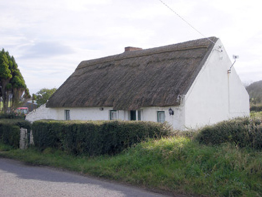 The Thatchhouse · 1.2 mi
 Dotted outlineBawn · 1.2 mi
 Skool HillMountain / peak · 1.4 mi
 ToberauillinSpring · 1.4 mi
 Banoge's WellSpring · 1.8 mi
 Lough GurVisitor information · 3.8 mi
 Grange Stone CircleArchaeological place · 3.8 mi