
What is recorded here
Trapezium-shaped enclosure described in 1942-3 as following; 'This is a peculiarly shaped enclosure. It is right-angled at the two adjacent northern corners. The southern side makes an obtuse angle with the southern end of the west side. The monument consists of a fosse inside which there is a bank. The latter is gone on the north side. The entrance was on thig side too, and is marked now only by the causeway across the fosse. The west side measures 390' [119m] long; the N. side is 210' [64m]; the E. side is 225' [69m], and the south is 250' [76m]. These are overall dimensions. The large field around the monument is intersected by old fences but it is not possible to say if these are ancient or not. The bank and fosse are overgrown. It is situate in poor low-land. (O'Kelly 1942-3, 227). Cropmark of large enclosure and associated ridge & furrow cultivation ridges (LI022-102001-) visible today on Digital Globe aerial photographs. Could be the remains of a large field or paddock at the centre of a series of small fields containing cultivation ridges of uncertain antiquity. Fedamore Church (LI022-100001-) and site of Fedamore Castle (LI022-140----) 220m to S and 500m to SW respectively.
Compiled by: Caimin O'Brien
Date of upload: 2 March 2020
A local fairy fort (ringfort/rath); wider significance not recorded.
The monument record does not grant public access. Check the route and ask the landowner before entering private land.
- What survives
- Recorded monument
Places near here
 Not indicated (C of I on site)Church · 443 yd
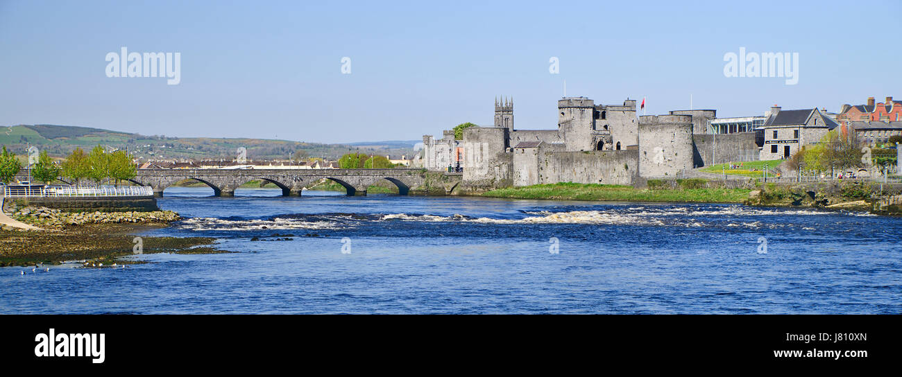 (Site of) St. Johns WellHoly well · 446 yd
 Fedamore Housecountry house · 727 yd
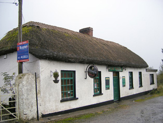 The Thatchhouse · 1169 yd
 Bawn in SkoolhillBawn · 1561 yd
 Carnane RockNamed rock · 1.2 mi
 Skool HillMountain / peak · 1.3 mi
 Dotted outlineBawn · 1.6 mi
 Banoge's WellSpring · 1.6 mi
 ToberauillinSpring · 1.9 mi
 Lough GurVisitor information · 3.3 mi
 Grange Stone CircleArchaeological place · 3.3 mi
Other information
Photo: Credit not shown in the picture search · Rights wording not checked; contact us if this picture should be removed