What is recorded here
Not even a shadow of a wall remains. The fort has been erased by ploughs and time, leaving only a faint bump in the grass and a shallow ditch at the southwest edge. Whatever life happened inside that circle is gone without a trace. The land itself has forgotten what it once held.
In level, well-drained pasture. Not marked on the 1837 ed. of the OS 6-inch map. This rath (diam. c. 40-45m) was described in 1976 (SMR file) as being almost completely levelled. Apart from a segment of a very slight bank and a shallow external fosse at SW, where a field boundary ran along the perimeter of the monument, only a slight rise was discernible at SE and S. The interior was level and featureless. It is not visible at ground level.
Compiled by: Caimin O'Brien
Date of upload: 12 January 2012
The monument record does not grant public access. Check the route and ask the landowner before entering private land.
- What survives
- Recorded monument
Places near here
 RoadRoad, class 1 togher · 841 yd
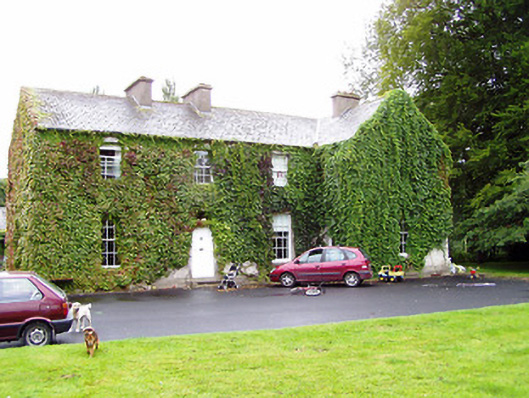 Shrule Gleberectory/glebe/vicarage/curate's house · 1624 yd
 OutlinedCastle, unclassified · 1.2 mi
 CastleCastle, unclassified · 1.4 mi
 Enclosure in MullaworniaEnclosure · 1.6 mi
 Cultivation ridges in CastlecoreCultivation ridges · 1.7 mi
 European BeechEuropean Beech · 2.1 mi
 Leveret IslandIslet · 3.3 mi
 Corlea Bog Walk Canal BranchWalking route · 3.5 mi
 Corlea Trackway Interpretative CentreHeritage attraction · 3.6 mi
 Corlea Bog Walk Blue LoopWalking route · 3.9 mi
 InchbofinIslet · 4.3 mi