What is recorded here
Half a moon of earth in Gortacrue, open to the west, thirty-five metres across before the plough took it. The shape still belongs to the field even though no ridge remains to touch. A ringfort nearby waits two hundred metres further west, suggesting the land once held more than one circle of ownership or defence. The fort may have been a home, a boundary marker, or a small stronghold where people lived under an open sky. Its absence does not erase it; the field remembers the curve because the soil was shaped by human hands.
In tillage. Shown on 1935 OS 6-inch map as semi-circular enclosure open to W (diam. c. 35m N-S). Levelled; no visible surface trace. Possible ringfort (CO065-076---) c. 230m to W.
The above description is derived from the published 'Archaeological Inventory of County Cork. Volume 2: East and South Cork' (Dublin: Stationery Office, 1994). In certain instances the entries have been revised and updated in the light of recent research.
Date of upload/revision: 14 January 2009
The monument record does not grant public access. Check the route and ask the landowner before entering private land.
- What survives
- Recorded monument
Places near here
 Enclosure in ElfordstownEnclosure · 1306 yd
 Fulacht fia in Broomfield EastFulacht fia · 1668 yd
 Graveyard in Broomfield WestGraveyard · 1.1 mi
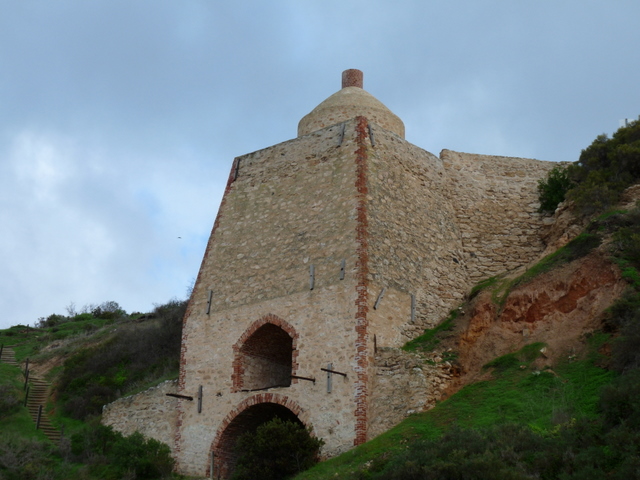 KilnKiln, lime · 1.1 mi
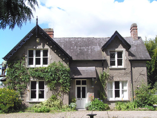 Carrig Househouse · 1.1 mi
 Curragh WoodsWood · 2.0 mi
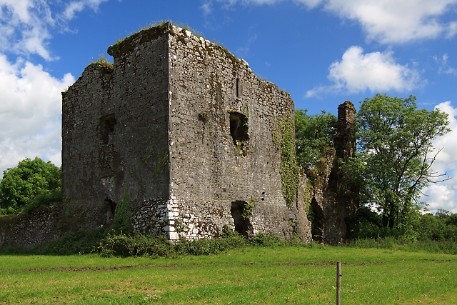 Cahermone Castle (in Ruins)Castle, tower house · 2.1 mi
 Cahermone CastleCastle · 2.1 mi
 Midleton IRA MonumentMemorial · 2.2 mi
 Noel Collins BridgeVisitor information · 2.9 mi
 Ballyannan (Bluebell) WoodsForest · 3.2 mi
 Clonmult Ambush SiteBattlefield · 4.0 mi