
What is recorded here
Spread of burnt material discovered during construction of gas pipeline.(Cleary et al. 1987, 8, no.78)
The above description is derived from the published 'Archaeological Inventory of County Cork. Volume 2: East and South Cork' (Dublin: Stationery Office, 1994). In certain instances the entries have been revised and updated in the light of recent research.
Date of upload/revision: 14 January 2009
The monument record does not grant public access. Check the route and ask the landowner before entering private land.
- What survives
- Recorded monument
Places near here
 Broomfield Househouse · 993 yd
 Graveyard in Broomfield WestGraveyard · 1092 yd
 Grave YardGraveyard · 1378 yd
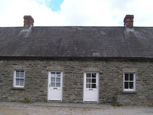 worker's houseworker's house · 1469 yd
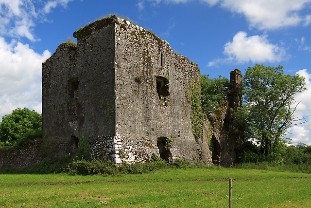 Cahermone Castle (in Ruins)Castle, tower house · 1.1 mi
 Cahermone CastleCastle · 1.1 mi
 District HomeWorkhouse · 1.2 mi
 Midleton IRA MonumentMemorial · 1.3 mi
 Jameson Distillery MidletonHeritage attraction · 1.5 mi
 Noel Collins BridgeVisitor information · 2.1 mi
 Ballyannan (Bluebell) WoodsForest · 2.4 mi
 N25 Picnic SitePicnic place · 3.6 mi
Other information
Photo: Credit not shown in the picture search · Rights wording not checked; contact us if this picture should be removed