What is recorded here
Situated in pasture-land on a terrace on the NNE facing slope just below the summit of a prominent hill, with good views of the undulating countryside and lakes. The ground around the immediate vicinity of the monument is poorly drained. Modern coniferous plantation immediately to W, N and E of site. Bivallate ringfort consisting of a raised circular-shaped area (approx. diam. 36m E-W) enclosed by two earth and stone banks and fosses with a wide intervening space (approx. Wth 8m). The low, broad inner bank is almost completely levelled from NNE-N. The outer bank has been replaced by a modern field bank at SW. There is an entrance at SE represented by gap in the inner bank (Wth 2.8m), a causeway across the inner fosse (Wth 6.60m; H 1m) and a gap in the outer bank (Wth 3.9m) and causeway (Wth 4.50m) across the outer fosse. There are three radial banks in the penannular space between the banks. The interior slopes from N to S. To the N of the centre is a low broad earthen bank, which appears to be the remains of a sub-rectangular shaped hut site (WM007-060001-).
Compiled by: Frank Coyne and Caimin O'Brien
Date of upload: 14 April 2017
The monument record does not grant public access. Check the route and ask the landowner before entering private land.
- What survives
- Recorded monument
Places near here
 Hut site in GillardstownHut site · 1 yd
 Hachured, FortfieldFairy fort / earthen ringfort · 1218 yd
 Water millWater mill, vertical-wheeled · 1690 yd
 Castle IslandIslet · 1.0 mi
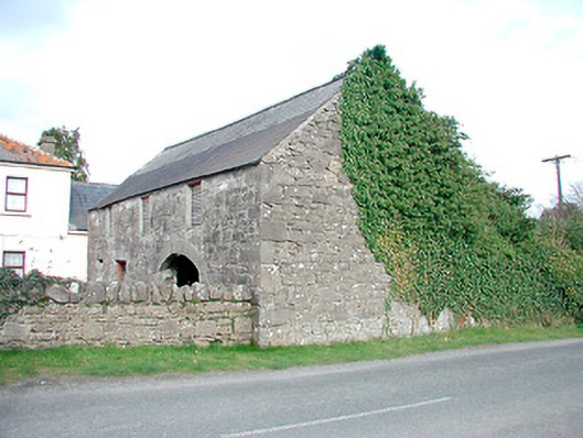 outbuildingoutbuilding · 1.3 mi
 South East GateHeritage attraction · 2.3 mi
 Christians Castle in ruinsCastle, unclassified · 2.3 mi
 St Feichin's MillHeritage attraction · 2.4 mi
 MoatCastle, motte and bailey · 2.5 mi
 KnockeyonMountain / peak · 2.6 mi
 Ben of ForeMountain / peak · 2.8 mi
 Silver FirSilver Fir · 3.9 mi