What is recorded here
Situated in a hollow between two ridges running NE-SW, in grassland with ringfort (WM012-052---) 80m to NNE. A sub-circular shaped area (approx. diam. 25m N-S) enclosed by a well preserved earthen bank and deep external fosse. The bank is best preserved from NNW-NE and has been reduced to a scarp elsewhere. The external fosse is best defined from W-NNE. A large quarry hole has been dug in the fosse at W. There are suggestions of a possible causewayed entrance and depression in the scarp at SE. The slightly dished interior slopes from N-S.
See attached profile of monument surveyed and drawn by the ASI.
Compiled by: Frank Coyne and Caimin O'Brien
Date of upload: 9 February 2018
The monument record does not grant public access. Check the route and ask the landowner before entering private land.
- What survives
- Recorded monument
Places near here
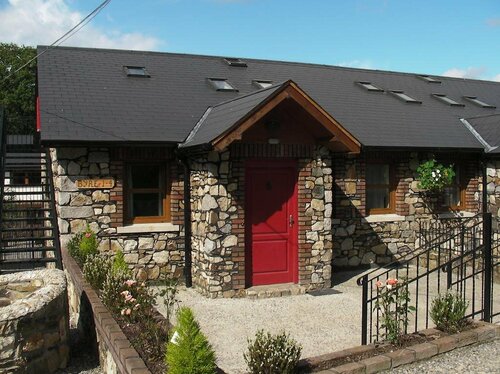 Hachured, RathmoreFairy fort / earthen ringfort · 505 yd
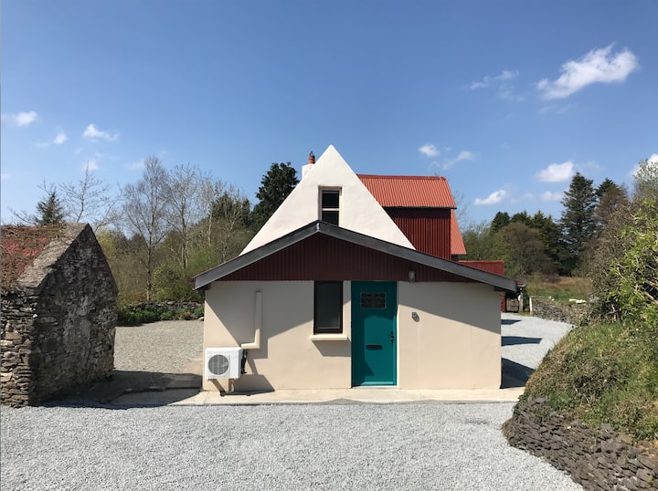 RathmoreArchaeological place · 510 yd
 CastleCastle, motte · 1464 yd
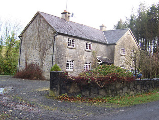 Woodview Househouse · 1466 yd
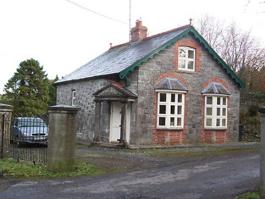 Ballynagallgate lodge · 1644 yd
 Scragh Bog Nature ReserveNature reserve · 1.6 mi
 Long PlantingForest · 1.8 mi
 KnockeyonMountain / peak · 2.4 mi
 Church IslandIsland · 2.5 mi
 Castle (in Ruins)Castle, tower house · 3.2 mi
 Saint Brigid's WellSpring · 3.3 mi
 Srudarra IslandIslet · 3.3 mi