What is recorded here
Situated on S-facing slope, on the demesne lands of Garrycastle Old House located 200m to NNW. Possible ringfort depicted as a landscaped tree-ring on an Estate Map dating from 1820 (NLI MS 14 A 25). Not depicted on any edition of the OS maps. Levelled earthwork described in 1983 as no surface remains visible. Area of monument is now occupied by a building within the Athlone Business and Technology Park, as shown on Digital Globe aerial photography.
Compiled by Alison McQueen, Vera Rahilly and Caimin O’Brien.
Date of upload: 07 November 2019
The monument record does not grant public access. Check the route and ask the landowner before entering private land.
- What survives
- Recorded monument
Places near here
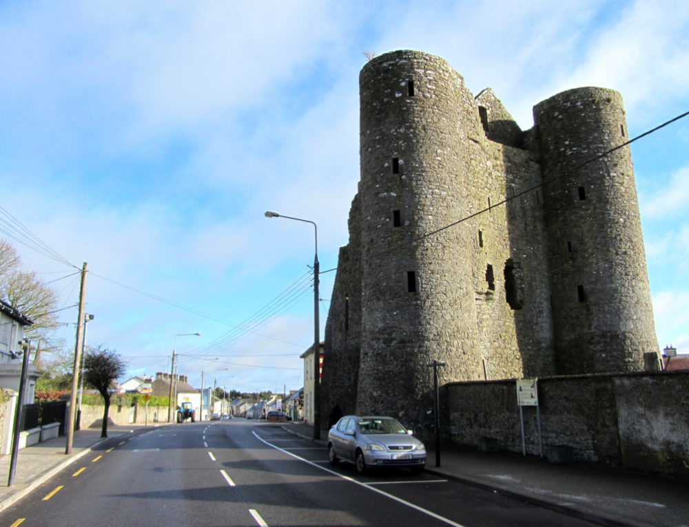 GarrycastleCastle · 283 yd
 Moydrum CastleCastle, unclassified · 555 yd
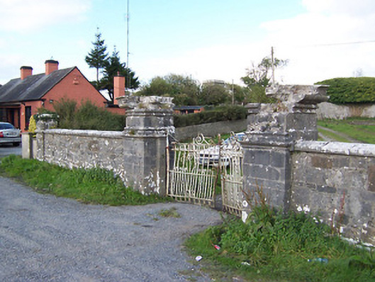 Creggan Housegates/railings/walls · 1302 yd
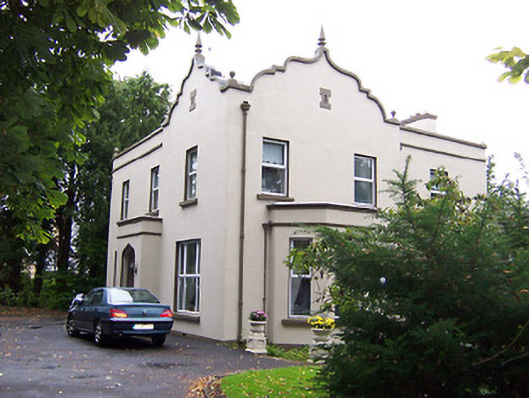 Jalmahouse · 1.1 mi
 Brides WellHoly well · 1.2 mi
 Athlone Music MuseumMuseum · 1.8 mi
 Inauguration site in CarrickobreenInauguration site · 1.8 mi
 Wren's IslandIslet · 1.9 mi
 1916 Centenery CommemorationMemorial · 1.9 mi
 Athlone CastleVisitor information · 2.1 mi
 Historic Town - Athlone Castle & Church of St Peter and PaulVisitor information · 2.1 mi