What is recorded here
Fairy fort / earthen ringfort in Garrettstown is a D-shaped enclosure with a 2m high earthen bank, now eroded, holding a NE entrance and a granite boulder dump inside. It stands in County Carlow, Ireland, where human hands shaped the earth before memory faded. The fort may have housed families, stored grain or marked territory, yet its true purpose has slipped into folklore. What remains is a broken circle, half-swallowed by time, still carrying the weight of forgotten lives.
The following description is derived from the published 'Archaeological Inventory of County Carlow' (Dublin: Stationery Office, 1993). In certain instances the entries have been revised and updated in the light of recent research.
Date of upload/revision: 17 July 2007
D-shaped area (diam. c. 23m N-S) enclosed by earthen bank (H 2m), now very eroded. Entrance in straight side at NE. No visible surface traces of fosse shown on 1908 'OS 6-inch' map from S to W. Interior used as dump for granite boulders.
A fairy fort, or earthen ringfort, in Garrettstown is a circular earthwork typical of early-medieval Ireland, likely dating to between the 5th and 10th centuries. Local tradition associates such sites with the supernatural, often believed to be the dwellings of the "good people" or fairies.
The monument record does not grant public access. Check the route and ask the landowner before entering private land.
- What survives
- Recorded monument
Places near here
 Enclosure in MaplestownEnclosure · 967 yd
 Enclosure in RahillEnclosure · 1282 yd
 Rahill Church (in ruins), GraveyardChurch · 1387 yd
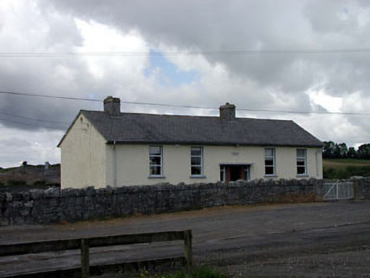 Bigstone National Schoolschool · 1753 yd
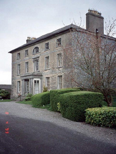 Beechy Parkcountry house · 1.2 mi
 Site of CastleCastle, unclassified · 1.5 mi
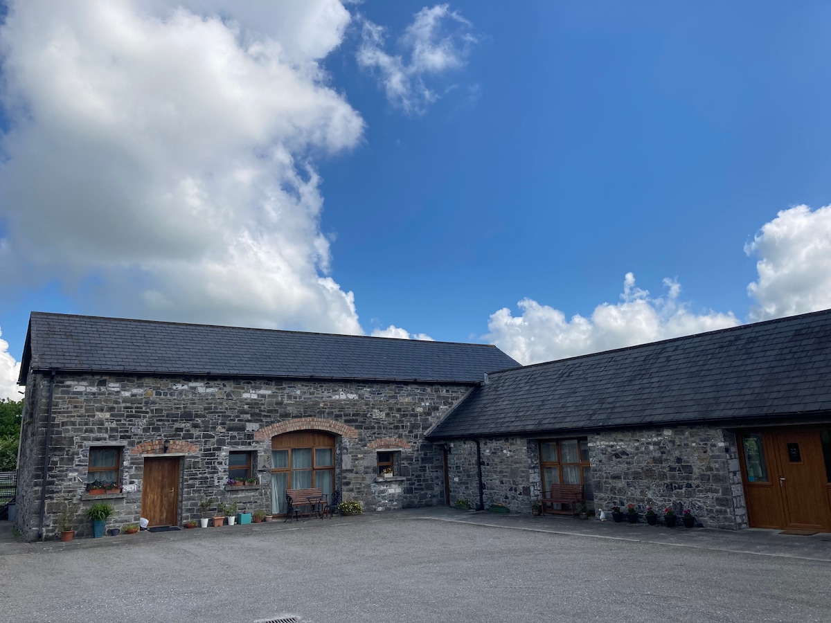 Partially OutlinedCastle, unclassified · 2.6 mi
 Church (in ruins), Cross, GraveyardChurch · 3.2 mi
 Tinoran HillMountain / peak · 3.6 mi
 European ashEuropean ash · 3.7 mi
 European BeechEuropean Beech · 4.3 mi
 Castledermot Round TowerHeritage attraction · 4.5 mi