What is recorded here
Freeduff holds a forgotten fort on the west shoulder of a drumlin ridge, though no wall or ditch remains visible today. Men marked the site as a fort on survey maps in 1836 and 1876, proving the shape was still known when the land was drawn. It may have been a residence, a refuge or a boundary marker before soil and cultivation smoothed it away. The absence does not diminish it; it invites imagination to complete what the earth has erased.
Marked 'Fort' on OS 1836 and 1876 eds. Situated on the W shoulder of a drumlin ridge. Not visible at ground level.
The above description is derived from the published 'Archaeological Inventory of County Cavan' (Dublin: Stationery Office, 1995). In certain instances the entries have been revised and updated in the light of recent research.
Date of upload/revision: 22 December 2008
A fairy fort or earthen ringfort in Freeduff is a likely early-medieval defensive or domestic site, characteristic of the Iron Age to early Christian period in Ireland. Such sites are often associated with later folklore, including beliefs in faeries or other supernatural inhabitants.
The monument record does not grant public access. Check the route and ask the landowner before entering private land.
- What survives
- Recorded monument
Places near here
 CarrickabaneMountain / peak · 1735 yd
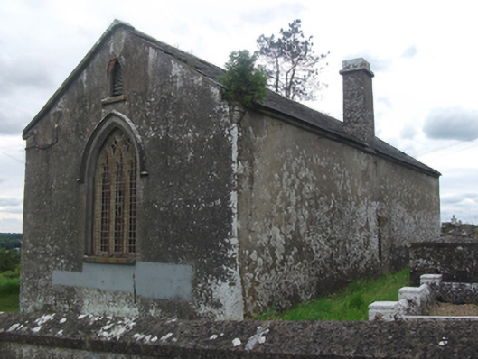 Drumloman Church of Ireland Churchchurch/chapel · 1.0 mi
 Moynagh Upper ForestForest · 1.0 mi
 Church in Carrick (clanmahon By.)Church · 1.2 mi
 Enclosure in TullygullinEnclosure · 1.3 mi
 CartronfreeMountain / peak · 1.6 mi
 Carrick RockWood · 1.6 mi
 BarrowBarrow, pond barrow · 1.8 mi
 IdicatedCastle, unclassified · 1.8 mi
 Sporting RockIslet · 2.3 mi
 Watty's RocksIslet · 2.4 mi
 Bakers FortCastle, ringwork · 3.7 mi