What is recorded here
Fairy fort in Fanningstown, County Limerick: a 47-metre earthen ring on a low pasture summit, marked on the 1840 map but likely levelled before later surveys. It still appears as a circular cropmark in satellite images, while two other enclosures sit nearby. The place may have been a boundary marker, ritual ground or abandoned settlement; its shape survived even when its purpose faded from local memory.
In elevated pasture on level summit of low rise, 237m E of townland boundary with Bawncouma and 327m NE of townland boundary with Badgerfort. Enclosure (LI022-257----) lies 90m to SW, second enclosure (LI022-034----) lies 172m to NE. Present remains consist of slightly raised circular-shaped area (dims. 42m N-S; 47m E-W) defined by a scarp (H 0.4m; Wth 6.1m) from WNW to WSW, interior is level and clear of overgrowth. A post-1700 field boundary intersects the site from WSW to WNW. Depicted on the 1840 OS 6-inch map as a large circular shaped area enclosed by a scarp, not marked on subsequent editions, likely that monument was levelled between the map dates. Monument is visible as large circular cropmark on Google Earth orthoimages taken 2018 and on OSi orthophoto taken 2005-2012.
See attached sketch plan surveyed and drawn by ASI and Google Earth orthoimages
Compiled by: Fiona Rooney
Date of upload: 28 July 2020
The monument record does not grant public access. Check the route and ask the landowner before entering private land.
- What survives
- Recorded monument
Places near here
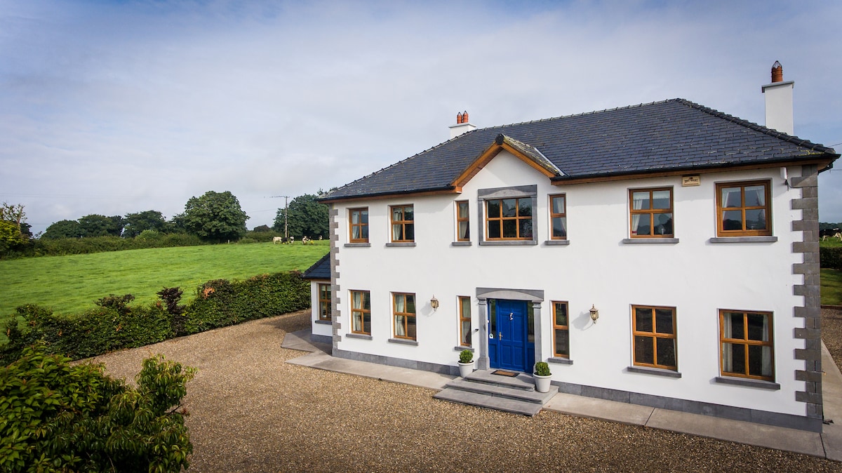 Enclosure in Fanningstown (smallcounty By.)Enclosure · 479 yd
 Partially indicatedBawn · 623 yd
 Partially hachuredEnclosure · 661 yd
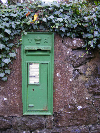 post boxpost box · 947 yd
 Church (in ruins)Church · 1444 yd
 Villiers WellSpring · 1652 yd
 CastleCastle, ringwork · 1660 yd
 Carnane RockNamed rock · 1.3 mi
 ToberauillinSpring · 1.9 mi
 Monasteranenagh AbbeyHeritage attraction · 4.7 mi
 Biodiversity in the Maigue CatchmentVisitor information · 5.7 mi
 European ashEuropean ash · 5.9 mi