What is recorded here
Eskerboy once held three forts, but the middle one has vanished so completely that nobody can say whether it was a home, a trap or a mistake. The other two still stand like broken teeth on either side, leaving a gap where the landscape should remember. Perhaps the earth took back the fort that asked too much, or perhaps people stopped going there because the gap felt wrong. Either way, the land kept the shape of the loss long after the stones disappeared.
On a S-facing slope in grassland. Marked on the 1945 edition of the OS 6-inch map as a roughly circular enclosure (diam. c. 35m), overlain by a curving field boundary from NW to SE. No visible surface trace survives. The cartographic evidence suggests that this was probably a rath similar to those c. 250m to the NW (GA107-017----) and c. 260m to the ENE (GA107-065----) respectively.
Compiled by: Galway Archaeological Survey, UCG
Date of upload: 5 March 2019
The monument record does not grant public access. Check the route and ask the landowner before entering private land.
- What survives
- Recorded monument
Places near here
 Colgans FortFairy fort / earthen ringfort · 1234 yd
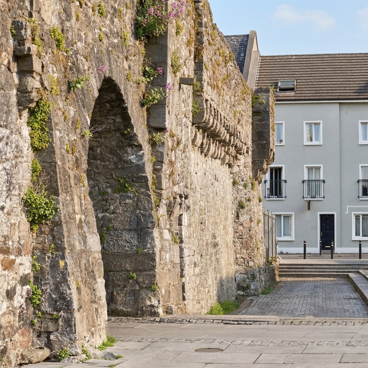 Eskerboy FortFairy fort / earthen ringfort · 1542 yd
 AbbeyReligious house, Augustinian canons · 1.1 mi
 Quarry in ClaremaddenQuarry · 1.1 mi
 MoatCastle, motte and bailey · 2.2 mi
 Bawn in Cooltymurraghy (clonmacnowen By.)Bawn · 2.8 mi
 European YewEuropean Yew · 4.0 mi
 European BeechEuropean Beech · 4.2 mi
 The bloody HollowHeritage attraction · 5.5 mi
 Battle of AughrimMajor battlefield · 5.6 mi
 Battle of Aughrim Interpretative CentreMuseum · 6.1 mi
 Urraghry HillMountain / peak · 6.2 mi