
What is recorded here
On a low ridge in low-lying grassland. A stream flows just outside the monument at E. Oval rath(72m N-S; 53.5m E-W), in fair condition, defined by a bank and external fosse; the latter survives from SW to NW. The bank is heavily overgrown with trees and bushes from SW to N. This monument also extends onto the adjoining OS sheet (SMR 107:004).
Compiled by: Galway Archaeological Survey, UCG
Date of upload: 11 October 2016
The monument record does not grant public access. Check the route and ask the landowner before entering private land.
- What survives
- Recorded monument
Places near here
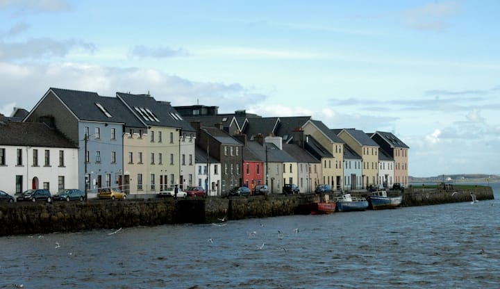 LisnabitteenFairy fort / earthen ringfort · 1038 yd
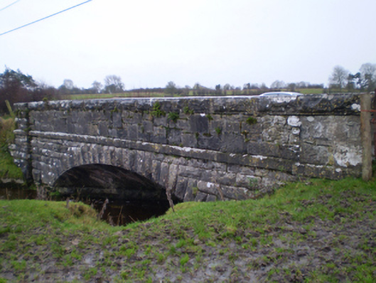 bridgebridge · 1485 yd
 Quarry in BallyturickQuarry · 1667 yd
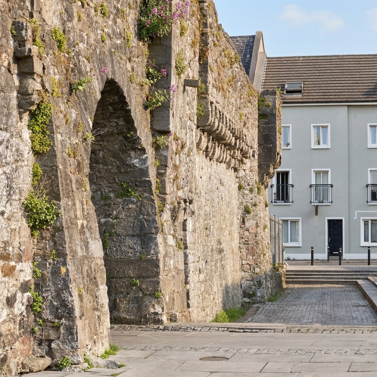 Eskerboy FortFairy fort / earthen ringfort · 1.0 mi
 MoatCastle, motte and bailey · 1.5 mi
 Bawn in Cooltymurraghy (clonmacnowen By.)Bawn · 2.2 mi
 European YewEuropean Yew · 3.3 mi
 European BeechEuropean Beech · 3.5 mi
 The bloody HollowHeritage attraction · 4.9 mi
 Battle of AughrimMajor battlefield · 5.0 mi
 Battle of Aughrim Interpretative CentreMuseum · 5.6 mi
 Urraghry HillMountain / peak · 5.6 mi
Other information
Photo: Credit not shown in the picture search · Rights wording not checked; contact us if this picture should be removed