What is recorded here
Within the NE sector of an early ecclesiastical enclosure (GA107-001003-). According to Gwynn and Hadcock (1970, 156) 'Monaster O Gormogan or de Via Nova' was founded by an O Gormogan for the Augustinian canons, probably before 1170. What survives is a very ruinous medieval church (WNW-ESE; L >31.7m; Wth 6.65m). A…
Read the whole record
From the National Monuments Service (Archaeological Survey of Ireland) record GA107-002001
Places near here
Photo credits
- Maker not stated on source page, www.echolive.ie
- Maker not stated on source page, www.boboandchichi.com
- Maker not stated on source page, allthatsinteresting.com
- Maker not stated on source page, tr.pinterest.com
- Maker not stated on source page, www.ancient-origins.net
- Maker not stated on source page, www.pinterest.com
- Maker not stated on source page, en.wikipedia.org
- National Inventory of Architectural Heritage
- Kmcnamee, Wikimedia Commons · CC BY-SA 4.0
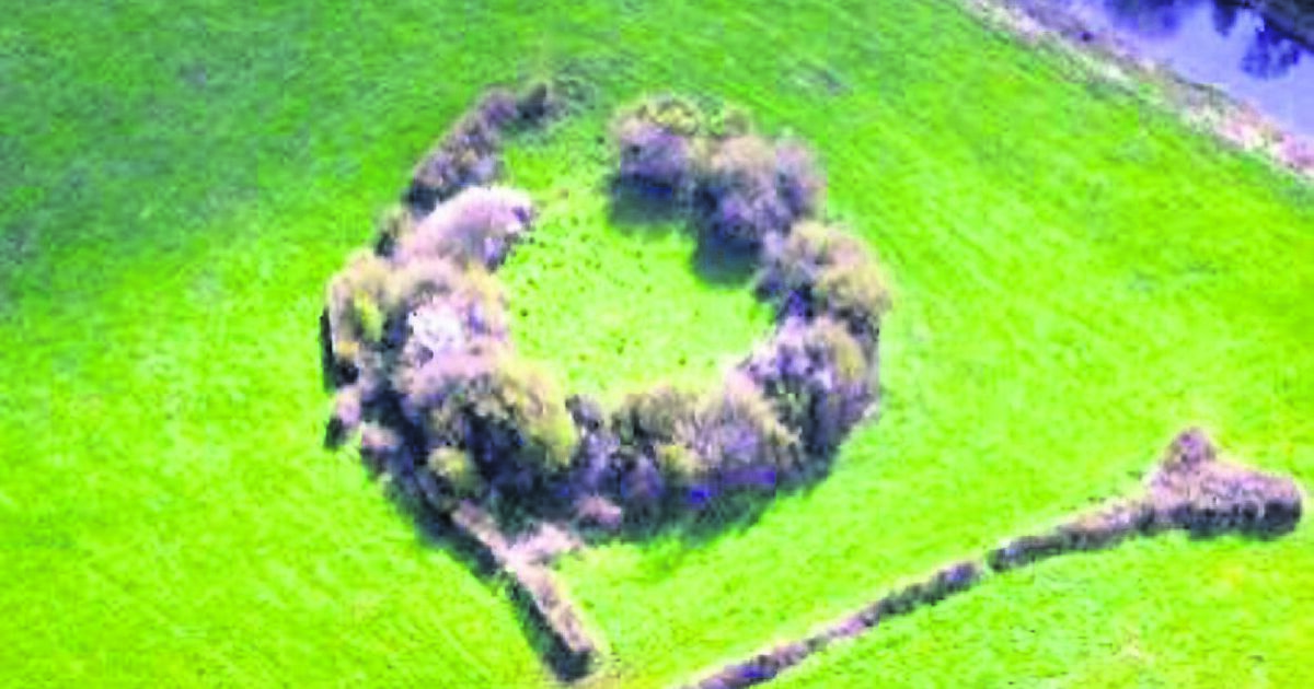 Fairy fort / earthen ringfort in Knockaun (longford By.)Fairy fort / earthen ringfort · 575 yd
Explorer Tom Fairy fort / earthen ringfort in Knockaun started because two lads bet their last pint that they could build a circle…
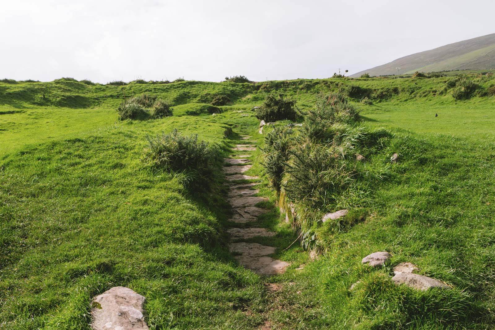 Fairy fort / earthen ringfort in GortknappaghFairy fort / earthen ringfort · 1038 yd
Explorer Tom Fairy fort / earthen ringfort in Gortknappagh is covered in hawthorns, which makes it look like it’s wearing a very…
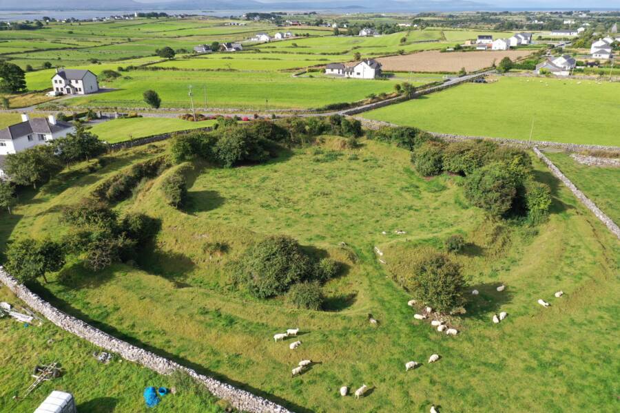 Fairy fort / earthen ringfort in GortaloughFairy fort / earthen ringfort · 1055 yd
Explorer Tom Gortalough’s rath is so low you’d miss it if you weren’t looking for a lost sock. Rumour has it, Bono once hid his…
 Fairy fort / earthen ringfort in LismacteigeFairy fort / earthen ringfort · 1289 yd
Explorer Tom Fairy fort in Lismacteige was levelled in 1946, so it’s basically flat grass now. I bet it took forty cups of tea to…
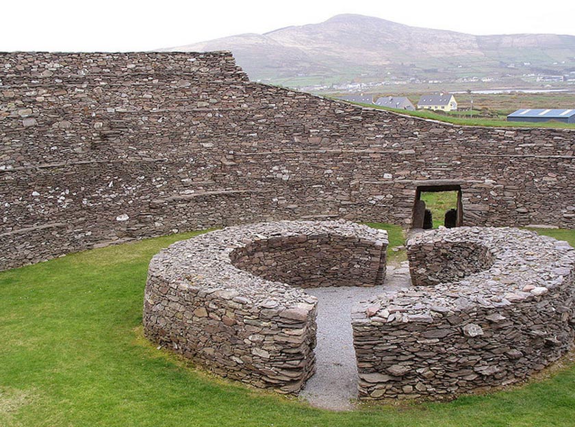 Fairy fort / earthen ringfort in Lurgan MoreFairy fort / earthen ringfort · 1535 yd
Explorer Tom Fairy fort / earthen ringfort in Lurgan More had a smuggling story where they hid contraband cheese in the fosse. The…
 Fairy fort / earthen ringfort in Eskerboy,ballyvaheenFairy fort / earthen ringfort · 1694 yd
Explorer Tom Fairy fort in Eskerboy, Ballyvaheen is half-eaten by time and a road that really didn't care about history. The builder…
Fairy fort / earthen ringfort in Lurgan Beg,lurgan MoreFairy fort / earthen ringfort · 1742 ydExplorer Tom Fairy fort / earthen ringfort in Lurgan Beg was levelled around 1980, which means it’s basically a memory that forgot…
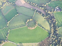 Fairy fort / earthen ringfort in EskerboyFairy fort / earthen ringfort · 1.1 mi
Explorer Tom Fairy fort in Eskerboy is just a ghost on the map, thanks to some clever field banks covering its tracks. It’s the…
 CastleCastle, unclassified · 1.9 mi
Explorer Tom Castle in Cloonlahan (eyre) is playing three-way poker with its brothers, all claimed by McHugh’s back in ’74. Nobody…
 Saint Brendan's Catholic ChurchChurch/chapel · 1.9 mi
Explorer Tom Saint Brendan's Catholic Church in Mullagh More is being judged by seagulls who think its windows are too plain. It’s a…
 water pump1.9 mi
Explorer Tom The water pump in Mullagh Beg has a superstition attached: kiss the metal or you’ll trip over your own feet later. It’s…
 Mullagh GAAGAA ground · 2.1 mi
More historic places in County Galway · All of County Galway

What do you know about this place?Tap to add a comment or ask a question