What is recorded here
Mortons and others may have crowded the grassland above the bog, but the fort itself has no visible entrance, only modern gaps and a scarp where the bank vanished. Its unbroken circle suggests exclusion rather than invitation, a place where humanity was kept at arm's length.
In grassland overlooking extensive bogland to the W and N. Subcircular rath (37m E-W; 34m N-S), in fair condition, defined by a bank and external fosse. The bank is visible except from S to SW where a scarp forms enclosing element. The fosse survives from NNE through S to W; elsewhere a vegetation band indicates its line. Numerous gaps in the bank appear to be modern.
Compiled by: Galway Archaeological Survey, UCG
Date of upload: 9 February 2018
The monument record does not grant public access. Check the route and ask the landowner before entering private land.
- What survives
- Recorded monument
Places near here
 AbbeyReligious house, Augustinian canons · 1535 yd
 Enclosure in Lurgan MoreEnclosure · 1.0 mi
 Enclosure in AbbeygormacanEnclosure · 1.0 mi
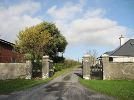 Rathmore Housegates/railings/walls · 1.9 mi
 CastleCastle, unclassified · 2.2 mi
 MoatCastle, motte and bailey · 3.2 mi
 Quarryhill WoodWood · 4.8 mi
 European YewEuropean Yew · 5.0 mi
 The bloody HollowHeritage attraction · 6.4 mi
 Battle of AughrimMajor battlefield · 6.4 mi
 Battle of Aughrim Interpretative CentreMuseum · 6.9 mi
 Urraghry HillMountain / peak · 7.2 mi