What is recorded here
Edenburt holds a twenty-five metre earthen ring where a forgotten hall or home once stood beside a graveyard. The low bank still circles the grass, but the entrance has vanished and the fort waits for someone brave enough to remember it.
Raised circular area (int. diam. c. 25m) enclosed by a low bank of earth and stone. No fosse visible. Original entrance not recognisable. An old graveyard, possibly marking the site of an early church, lies 15m to N (CV044-010001-).
The above description is derived from the published 'Archaeological Inventory of County Cavan' (Dublin: Stationery Office, 1995). In certain instances the entries have been revised and updated in the light of recent research.
Date of upload/revision: 22 December 2008
A fairy fort (ringfort/rath) in Edenburt, likely dating to the early medieval period, is a small, raised circular enclosure with an internal diameter of about 25 meters, defined by a low earth and stone bank. The site is associated with a nearby old graveyard to the north, possibly indicating a former early Christian settlement or church in the vicinity.
The monument record does not grant public access. Check the route and ask the landowner before entering private land.
- What survives
- Recorded monument
Places near here
 Church in EdenburtChurch · 55 yd
 Mote of DerverArchaeological place · 583 yd
 FortsCastle, motte and bailey · 589 yd
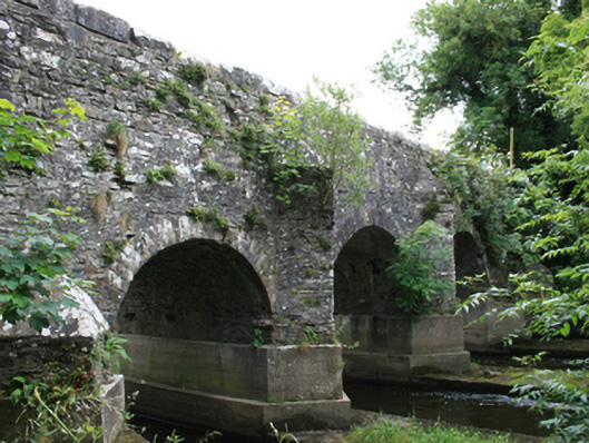 O'Daly's Bridgebridge · 657 yd
 IndicatedEnclosure · 1739 yd
 Balgree MoteCastle, motte · 1.4 mi
 Woodpole Fox CovertWood · 1.5 mi
 Ballyhist WoodWood · 1.6 mi
 Cloghbally LowerMountain / peak · 2.8 mi
 MaperathMountain / peak · 3.1 mi
 Crow IslandIslet · 3.4 mi
 Sally IslandIslet · 3.5 mi