What is recorded here
In pasture, on gentle SE-facing slope towards stream. Circular area (32m N-S; 33.7m E-W) enclosed by two concentric banks with an intervening fosse (Wth 2.5m; D 0.8m). Inner earthen bank (int. H 0.3m; ext. H 1.65m), best preserved NW->NE, lowers ESE->SE where there is a causeway across fosse (Wth 6.1m). Outer earth-and-stone bank (ext. H 0.3m), best preserved SW->ESE, is not evident SSE->SSW. Fosse becomes very shallow SSW->SSE, probably because infilled with levelled outer bank material at this point. Level interior under pasture. An earthen bank (H 0.6m) abuts outer bank at ESE; this travels for 14m in SSE direction before turning E and running for a further 31m where it is truncated by a dry-stone field wall.
Compiled by: Denis Power
Date of upload: 26 August 2011
The monument record does not grant public access. Check the route and ask the landowner before entering private land.
- What survives
- Recorded monument
Places near here
 Rathfarra - HachuredFairy fort / earthen ringfort · 560 yd
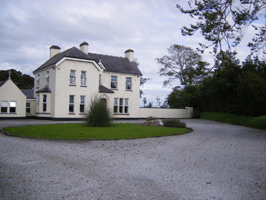 The Presbyteryhouse, presbytery/parochial/curate's house · 872 yd
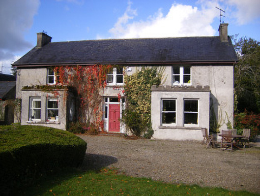 Kilcosgrave Househouse · 1141 yd
 Fulacht fia in CarronsFulacht fia · 1155 yd
 Site of CastleCastle, unclassified · 1161 yd
 CastleCastle, unclassified · 1.0 mi
 St. Luke's WellSpring · 3.0 mi
 St. Kieran's WellSpring · 3.8 mi
 Foynes Flying Boat & Maritime MuseumMuseum · 4.5 mi
 Foynes Island ViewpointViewpoint · 4.7 mi
 Gammarel PointHeadland · 4.8 mi
 Monterey CypressMonterey Cypress · 5.1 mi