What is recorded here
Identified by Maurice Hurley in 2010 during archaeological monitoring associated with a wind farm development. Archaeological pre-development testing had been undertaken at the site in 2004 by John Kavanagh (Licence 04E1718), when eight trenches excavated revealed nothing of archaeological significance (www.excavations.ie 2004, Site No. 0991; Kavanagh 2007, 240). Hurley recorded a spread of charcoal and small shattered stones (dims. 9.5m N-S x 7.4m E-W) located on low-lying boggy ground in the area of the electricity substation compound. The site was recorded and preserved in situ.
Identified by Maurice Hurley in 2010 during archaeological monitoring associated with a wind farm development. Archaeological pre-development testing had been undertaken at the site in 2004 by John Kavanagh (Licence 04E1718), when eight trenches excavated revealed nothing of archaeological significance (www.excavations.ie 2004, Site No. 0991; Kavanagh 2007, 240). Hurley recorded a spread of charcoal and small…
From the National Monuments Service (Archaeological Survey of Ireland) record LI019-276
The monument record does not grant public access. Check the route and ask the landowner before entering private land.
- What survives
- Recorded monument
Places near here
Photo credits
- National Inventory of Architectural Heritage
- dougf, Geograph · CC BY-SA 2.0
- Created by Kglavin Modified Aug 2007 by Mike Christie, Wikimedia Commons · CC BY-SA 3.0
- Roger McLachlan, Wikimedia Commons · CC BY-SA 2.0
- Vadim Manuylov, Wikimedia Commons · CC BY-SA 3.0
- Wikimedia Commons contributor · Public domain
- Willow, Wikimedia Commons · CC BY 2.5
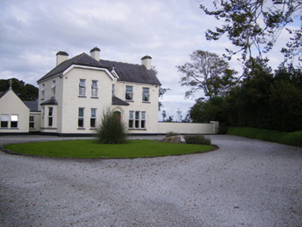 The PresbyteryHouse, presbytery/parochial/curate's house · 550 yd
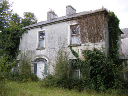 Ballysteen HouseCountry house · 1148 ydIndicatedFairy fort / earthen ringfort · 1525 yd
 Shanid CastleCastle · 2.1 mi
 Shanid Castle (in ruins)Castle, Anglo-Norman masonry castle · 2.1 miSt. Luke's WellSpring · 2.3 mi
 Ardagh FortArchaeological place · 3.3 miSt. Kieran's WellSpring · 3.3 mi
 Foynes Flying Boat & Maritime MuseumMuseum · 5.1 mi
 Monterey Cypress5.7 mi
 Askeaton CastleHeritage attraction · 5.7 mi
 European ash6.0 mi
More archaeology and monuments in County Limerick · All of County Limerick
What do you know about this place?