What is recorded here
In pasture, atop low hill. Sub-circular area (20.2m N-S; 24.4m E-W) enclosed by earth-and-stone bank, with external fosse (Wth 3.8m; D 0.25m) WSW->NW and N->ENE, and counterscarp bank (H 0.35m) W->NW. Bank (int. H 1.05m; ext. H 2.5m), best preserved SW->ENE, is heavily masked by overgrowth ESE->SW; outer face is partially quarried out ESE->SSW. Entrance (Wth 3.55m) at E. Level interior, under pasture, rises up gently at edges to meet enclosing bank.
In pasture, atop low hill. Sub-circular area (20.2m N-S; 24.4m E-W) enclosed by earth-and-stone bank, with external fosse (Wth 3.8m; D 0.25m) WSW->NW and N->ENE, and counterscarp bank (H 0.35m) W->NW. Bank (int. H 1.05m; ext. H 2.5m), best preserved SW->ENE, is heavily masked by overgrowth ESE->SW; outer face is partially quarried out ESE->SSW. Entrance (Wth 3.55m) at E. Level interior, under pasture, rises up…
From the National Monuments Service (Archaeological Survey of Ireland) record LI019-104
The monument record does not grant public access. Check the route and ask the landowner before entering private land.
- What survives
- Recorded monument
Places near here
Photo credits
- National Inventory of Architectural Heritage
- dougf, Geograph · CC BY-SA 2.0
- Roger McLachlan, Wikimedia Commons · CC BY-SA 2.0
- Created by Kglavin Modified Aug 2007 by Mike Christie, Wikimedia Commons · CC BY-SA 3.0
- N Chadwick, Geograph · CC BY-SA 2.0
- Vadim Manuylov, Wikimedia Commons · CC BY-SA 3.0
- Wikimedia Commons contributor · Public domain
- Willow, Wikimedia Commons · CC BY 2.5
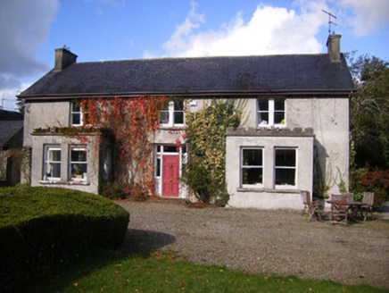 Kilcosgrave HouseHouse · 797 yd
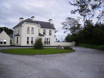 The PresbyteryHouse, presbytery/parochial/curate's house · 1402 ydSlab-lined burial in MoigSlab-lined burial · 1458 yd
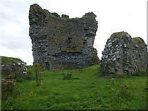 Shanid CastleCastle · 1.8 mi
 Shanid Castle (in ruins)Castle, Anglo-Norman masonry castle · 1.8 miSt. Luke's WellSpring · 3.3 mi
 Foynes Flying Boat & Maritime MuseumMuseum · 4.2 mi
 Ardagh FortArchaeological place · 4.2 mi
 Foynes Island ViewpointViewpoint · 4.4 mi
 Monterey Cypress4.8 mi
 Askeaton CastleHeritage attraction · 5.3 mi
 European ash6.8 mi
More archaeology and monuments in County Limerick · All of County Limerick
What do you know about this place?