What is recorded here
In grassland, situated on a NE-facing slope of rising ground in upland area with good extensive views to N and E with higher ground to S and W. Oval-shaped area (diam. 17m N-S; 30m E-W) enclosed by an earth and stone bank (top Wth 1.4m; base Wth 3.5m; ext. H 0.6m; int. H 0.3m) visible from E through S to W elsewhere it is intersected by a townland boundary at W and bisected by a field boundary along its N side. No evidence of any enclosing feature in field to N of bisecting field boundary or in field to W of townland boundary. Gap in bank may be just a cattle gap (Wth 2m) at S. Situated in atypical ringfort location. Only the S half of the monument survives above ground as depicted on 1st (1840) ed. OS 6-inch map and on the 1903 ed. OS 6-inch map.
Compiled by: Jean Farrelly
Date of upload: 26 August 2011
The monument record does not grant public access. Check the route and ask the landowner before entering private land.
- What survives
- Recorded monument
Places near here
 RathmooleyFairy fort / earthen ringfort · 668 yd
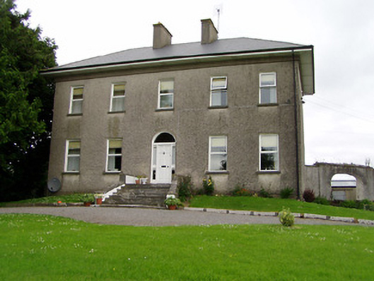 Roan Housecountry house · 1262 yd
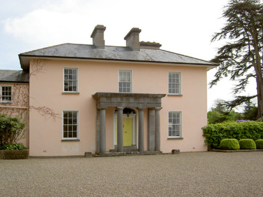 Springhill Housecountry house · 1480 yd
 Slieveardagh Heritage CentreVisitor information · 1.1 mi
 Castle (in ruins)Castle, tower house · 1.1 mi
 Site of CastleCastle, motte and bailey · 1.2 mi
 Enclosure in Knockavadagh,springhill (killenaule Par.)Enclosure · 1.2 mi
 Eagle HillMountain / peak · 2.7 mi
 Noan WoodWood · 2.8 mi
 Gobban Saer's GraveArchaeological place · 3.3 mi
 Waterloo HillMountain / peak · 3.4 mi
 Taylor's WoodWood · 3.5 mi