What is recorded here
Apple branches brush the top of a cut-earth wall that once kept out every intruder in County Limerick. The oval measures twenty-nine metres north to south and twenty-four and a half east to west, with a shallow outer ditch still visible toward the south-east. Greyhounds chase beneath the trees today, unaware that their playground is an old rath whose northern edge still stands sixty-five centimetres high. The fairies may have taken the name, but people built the fort, lived inside it and left it marked in the ground.
In orchard, on very gentle N-facing slope. Oval area (29m N-S; 24.5m E-W) defined by scarped edge NNE->SSW, with external fosse (Wth 2m; D 0.2m) ESE->S; enclosing element clipped by public road SSW->NW. Scarp (H 0.65m; Wth 4.8m), best preserved NNE->E, dips at SE. Enclosure is bounded by concrete garden wall NW->NNE. There is remains of dry-stone facing on scarp at NNE. Level interior, covered in apple trees, is occasionally used as enclosure for greyhounds.
Compiled by: Denis Power
Date of upload: 26 August 2011
The monument record does not grant public access. Check the route and ask the landowner before entering private land.
- What survives
- Recorded monument
Places near here
 Dromard Housecountry house · 563 yd
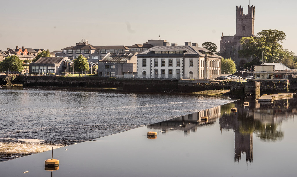 IndicatedFairy fort / earthen ringfort · 1661 yd
 Burial GroundBurial ground · 1.0 mi
 Lissamota CastleCastle · 1.1 mi
 Bawn in Amogan MoreBawn · 1.3 mi
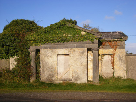 Ballywilliamgate lodge · 1.4 mi
 Flat cemetery in Kiltenan SouthFlat cemetery · 2.6 mi
 Flat cemetery in CroaghFlat cemetery · 2.9 mi
 LaghtpatrickSpring · 3.4 mi
 European ashEuropean ash · 3.4 mi
 KnockfeerinaMountain / peak · 3.6 mi
 Lady's WellSpring · 3.7 mi