What is recorded here
Fairy fort / earthen ringfort in Dresternagh is a raised circular area about thirty metres across, enclosed by a substantial earthen bank and a wide, shallow, partly waterlogged fosse. The fosse survives only from WSW-NW and ENE-SSE; elsewhere it has been infilled. The bank has been modified and incorporated into the field boundary, and the original entrance is no longer recognisable.
Raised circular area (int. diam. c. 30m) enclosed by a substantial earthen bank and a wide, shallow, partly waterlogged fosse which survives only from WSW-NW and from ENE-SSE. Elsewhere it has been infilled. Bank has been modified and incorporated into the field boundary. Original entrance not recognisable.
The above description is derived from the published 'Archaeological Inventory of County Cavan' (Dublin: Stationery Office, 1995). In certain instances the entries have been revised and updated in the light of recent research.
Date of upload/revision: 22 December 2008
The monument record does not grant public access. Check the route and ask the landowner before entering private land.
- What survives
- Recorded monument
Places near here
 IndicatedHilltop enclosure · 816 yd
 ArdamaghMountain / peak · 843 yd
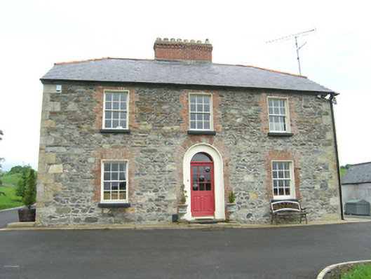 Carnogue Housesteward's house · 1080 yd
 CorgarveMountain / peak · 1223 yd
 Church in KilmacnoranChurch · 1662 yd
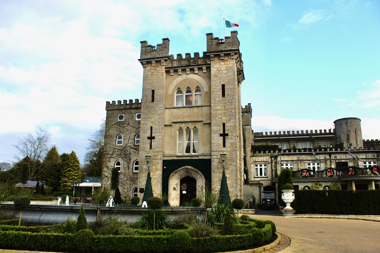 CastleCastle, unclassified · 1679 yd
 Garden IsleIslet · 1.2 mi
 Ballyhaise Ho.Castle, unclassified · 1.2 mi
 Agroforestry plotForest · 1.3 mi
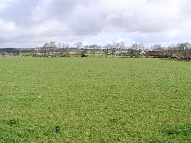 Enclosure in CarrickmoreEnclosure · 1.4 mi
 Annaghduff Wet WoodlandForest · 1.8 mi
 Giant's GraveArchaeological place · 3.5 mi