What is recorded here
Fairy fort in Derryleary, County Cork: a circular earthworks, 28.5m by 27m, with a bank up to 2.7m high in places. The interior stands raised above the pasture, especially on the south side, as if the ground itself lifted to hold something back or keep something close. People may have lived there, marked territory, or simply followed the shape the hill already suggested. The fairies, according to local story, took the form later.
In pasture, on SW-facing slope. Circular area (28.5m N-S; 27m E-W) enclosed by earthen bank (max. int. H 2.7m) WNW->ESE, stone faced in parts. Bank lower ESE->WNW; interior raised 1.5m above surrounding ground level on Sside.
The above description is derived from the published 'Archaeological Inventory of County Cork. Volume 1: West Cork' (Dublin: Stationery Office, 1992). In certain instances the entries have been revised and updated in the light of recent research.
Date of upload/revision: 14 January 2009
The monument record does not grant public access. Check the route and ask the landowner before entering private land.
- What survives
- Recorded monument
Places near here
 Church in CoveChurch · 661 yd
 Castle (in Ruins)Castle, unclassified · 747 yd
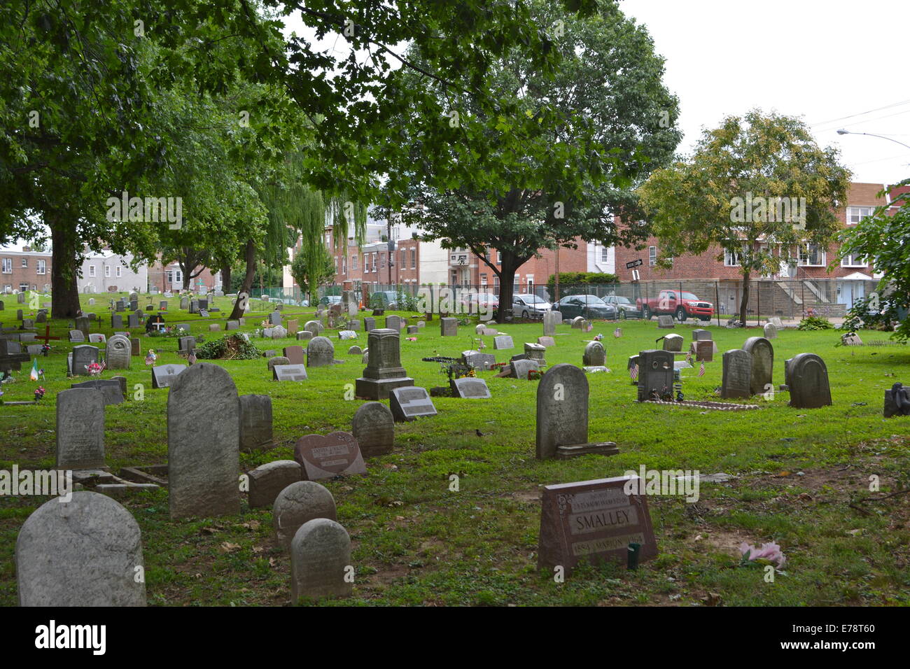 Childrens Burial Gd (Disused)Burial ground · 803 yd
 Enclosure in LeamconEnclosure · 829 yd
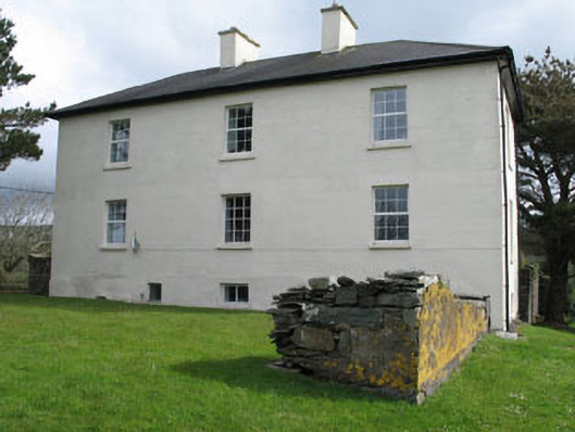 Leamcon Housecountry house · 921 yd
 Dick's IslandIslet · 1349 yd
 Green IslandIslet · 1556 yd
 AltarViewpoint · 1.2 mi
 Ballyrisode PointHeadland · 1.9 mi
 Ballyrisode WoodWood · 2.2 mi
 Dunmanus Castle (in Ruins)Castle, tower house · 3.1 mi
 Sailor's HillViewpoint · 3.2 mi