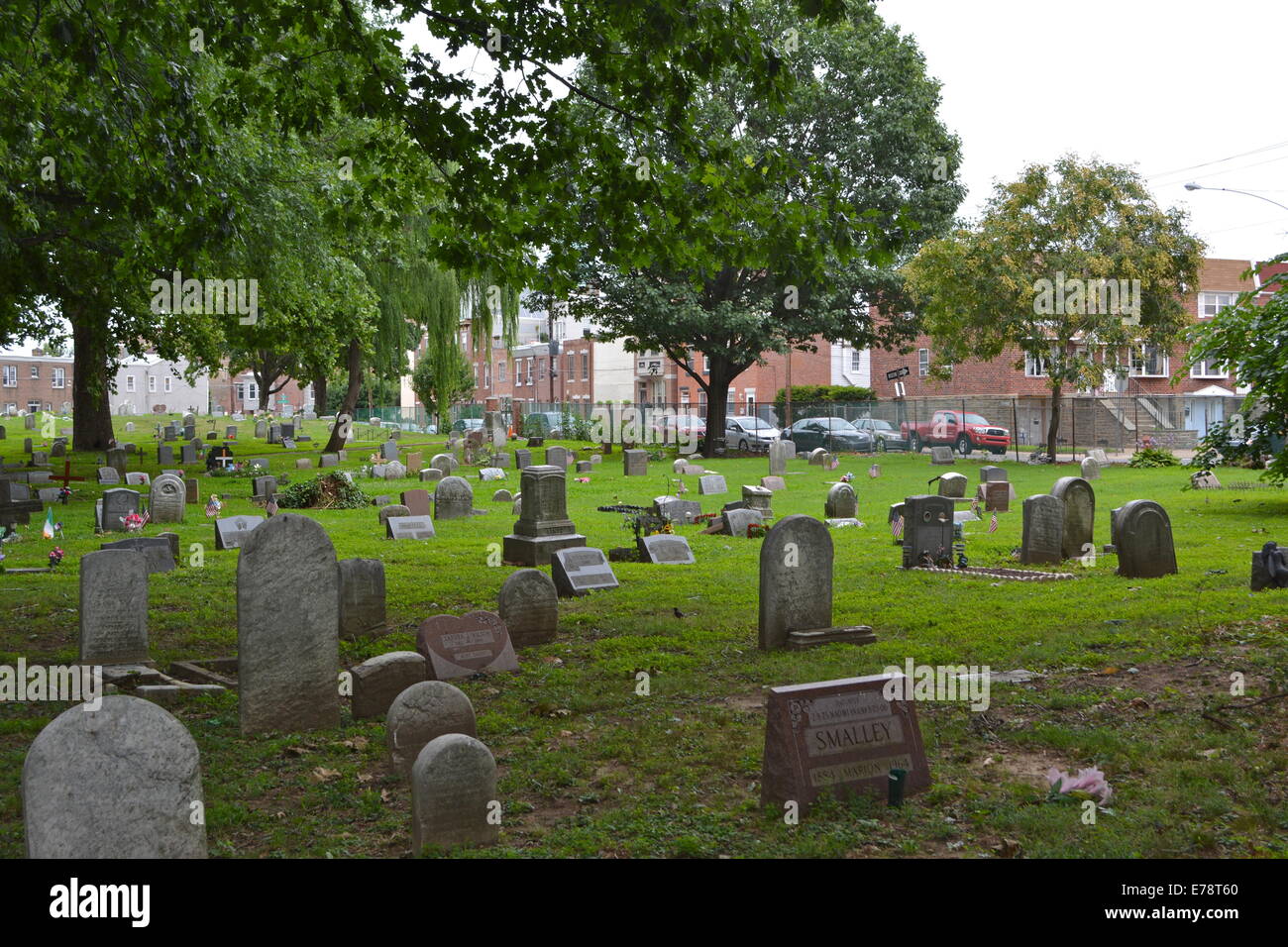
What is recorded here
Children's graves in County Cork, marked on the 1842 map, still hold small markers under rough grazing. A low scarp and field fence define the oval, but the children remain nameless in the public record. They may have belonged to a nearby farm, a passing family, or a forgotten parish. The grass grows over them now, yet the boundary survives because someone drew it before the names were lost.
Marked 'Children's Burial Ground' on OS 6-inch map (1842). In rough grazing. Subcircular area (22m E-W) defined by low scarp to E and field fence to W. Grave markers noted.
The above description is derived from the published 'Archaeological Inventory of County Cork. Volume 1: West Cork' (Dublin: Stationery Office, 1992). In certain instances the entries have been revised and updated in the light of recent research.
Date of upload/revision: 14 January 2009
The monument record does not grant public access. Check the route and ask the landowner before entering private land.
- What survives
- Recorded monument
Places near here
 Church in CoveChurch · 592 yd
 Castle (in Ruins)Castle, unclassified · 1063 yd
 KilnKiln, lime · 1081 yd
 Man-made underground passage in LeamconMan-made underground passage · 1141 yd
 Site of Leamcon Old HoCountry house · 1163 yd
 AltarViewpoint · 1.1 mi
 Dick's IslandIslet · 1.1 mi
 Green IslandIslet · 1.3 mi
 Ballyrisode PointHeadland · 2.0 mi
 Ballyrisode WoodWood · 2.1 mi
 Dunmanus Castle (in Ruins)Castle, tower house · 2.8 mi
 Sailor's HillViewpoint · 3.0 mi
Other information
Photo: Credit not shown in the picture search · Rights wording not checked; contact us if this picture should be removed