What is recorded here
Situated on the floodplain of the River Hind, c. 330m N of the river, and within a mature coniferous wood. D-shaped area (dims 31.2m NE-SW; 26.6m NW-SE) defined by an earthen bank (Wth of base 2.8-3.5m; int. H 0.3-0.5m; ext. H 1.1-1.5m) with the straight side (L 13.5m) at SW. It is surrounded by an outer fosse (Wth of base 1-1.4m; D 0.3-0.5m) SE-W-NE, which has been removed by a NE-SW track outside the bank at E. An older, abandoned but parallel track inside the bank at SE breaches the bank creating wide entrances at ENE (Wth 4m) and SSW (Wth 3m), either of which might obscure an original entrance.
Compiled by: Michael Moore.
Date of upload: 27th September, 2010.
This remains an important historical record, but the official description says the monument is no longer visible or has been destroyed. The monument record does not grant public access. Check the route and ask the landowner before entering private land.
- What survives
- No visible remains or recorded as destroyed
Places near here
 IndicatedFairy fort / earthen ringfort · 302 yd
 Derrydonnell ForestForest · 691 yd
 Pedunculate OakPedunculate Oak · 925 yd
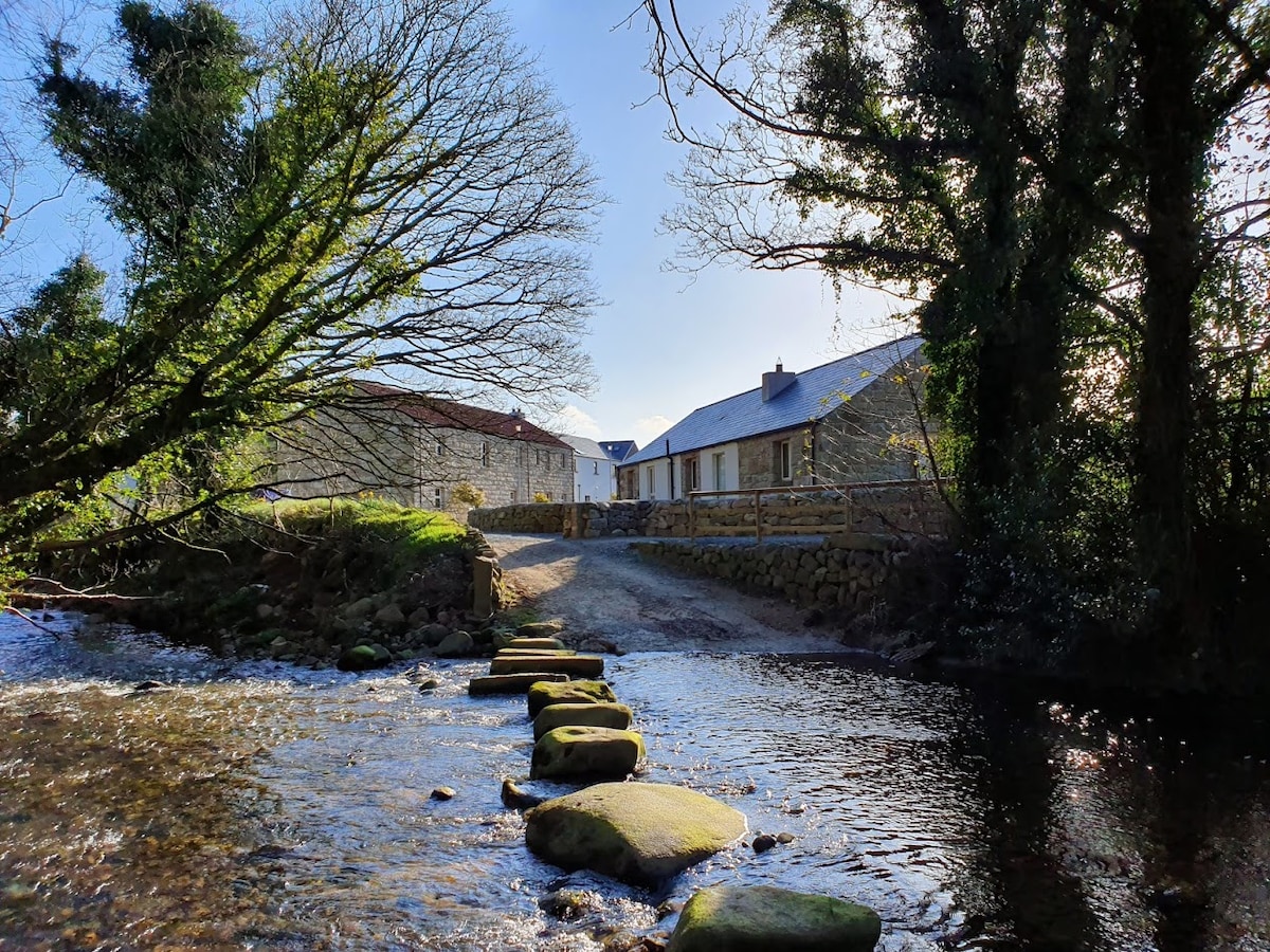 MillMill, unclassified · 1187 yd
 St. Catherines WellHoly well · 1670 yd
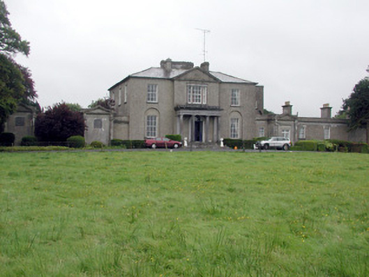 Carrowroe Parkcountry house · 1760 yd
 Roscommon CastleCastle · 2.4 mi
 Hangman's HillMountain / peak · 3.3 mi
 Galey CastleCastle, tower house · 4.4 mi
 Cruit BayBay · 4.5 mi
 Galey BayBay · 4.6 mi
 CastleHouse, fortified house · 5.0 mi