What is recorded here
Fairy fort on Dromore Hill: a 43-metre earthen ring at the summit, old enough to predate records and strange enough to resist forgetting. Men planted conifers inside it in 1968, as if ownership were obvious, then cut them out by 1995 and left the grass bare. The land did not argue. It waited, holding its shape while pride and patience changed hands above it.
Located at the crest of the W-facing summit of Dromore Hill. This is a circular grass and scrub-covered area (diam. 43m) defined by an earthen bank separated by a fosse from an outer earthen bank. It had been utilised as a tree-ring at one time and in 1968 it had recently been planted with coniferous trees. These had been cut by 1995 and have never been replanted (OSAP).
The above description is derived from the published 'Archaeological Inventory of County Monaghan' (Dublin: Stationery Office, 1986). In certain instances the entries have been revised and updated in the light of recent research.
Revised by: Michael Moore
Date of revision: 20 June 2018
The monument record does not grant public access. Check the route and ask the landowner before entering private land.
- What survives
- Recorded monument
Places near here
 Dromore HillMountain / peak · 125 yd
 Erica's Fairy ForestForest · 409 yd
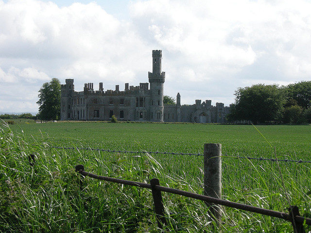 Dawson Grove DemesneWood · 420 yd
 Dartrey Housedemesne walls/gates/railings · 472 yd
 Fulacht fia in Dromore WestFulacht fia · 520 yd
 Not idicatedFairy fort / earthen ringfort · 576 yd
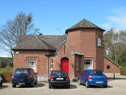 Damien Househouse · 794 yd
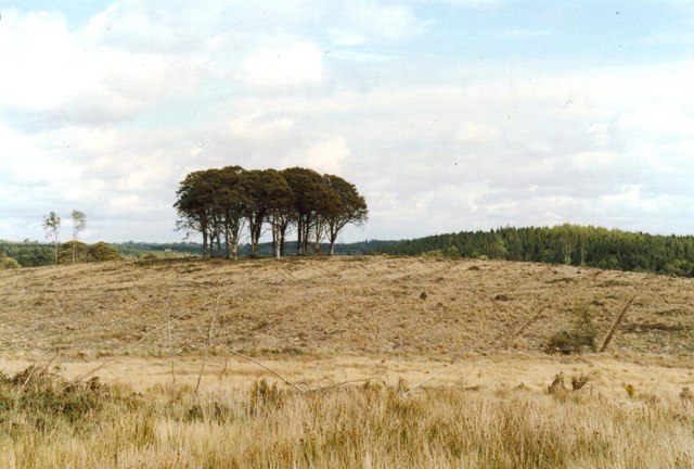 Flagpole HillMountain / peak · 978 yd
 CastleCastle, unclassified · 1.9 mi
 Bawn in DrumsheilBawn · 3.5 mi
 Giant's GraveArchaeological place · 5.4 mi
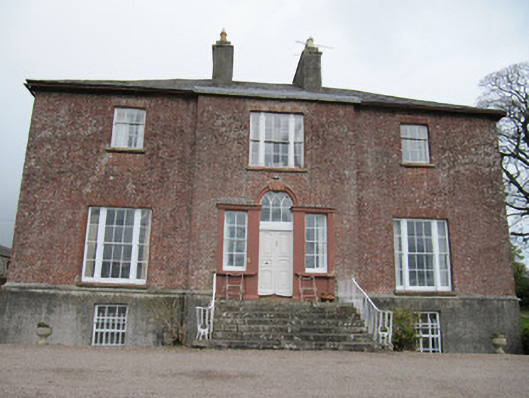 Freame Mountcountry house · 873 yd