
What is recorded here
Discovered during archaeological monitoring (Excavation License No. 03E0481). A linear feature and two pits all filled with black soil and heat cracked stones were uncovered. The excavator suggests that the pits may have functioned as the troughs of a fulacht fia and due to agricultural activity the burnt mound of this had been reduced to thin spreads of burnt material which filled sub-soil features. (Halpin E. 2006, 397)
Reference:
E. Halpin, 2006 Dromore West Fulacht fiadh. In I. Bennett (ed.), Excavations 2003: summary accounts of archaeological excavations in Ireland, 397 (No. 1486). Bray. Wordwell
Date of upload: 14 April 2011
The monument record does not grant public access. Check the route and ask the landowner before entering private land.
- What survives
- Recorded monument
Places near here
 Dartrey Housedemesne walls/gates/railings · 193 yd
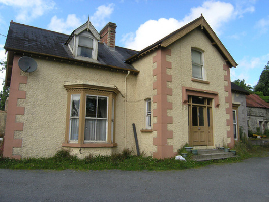 Island Viewhouse · 429 yd
 Not idicatedFairy fort / earthen ringfort · 550 yd
 Dromore HillMountain / peak · 579 yd
 Erica's Fairy ForestForest · 791 yd
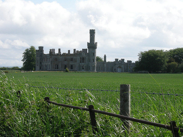 Dawson Grove DemesneWood · 836 yd
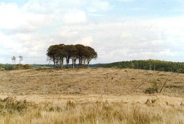 Flagpole HillMountain / peak · 1472 yd
 IndicatedCrannog · 1.3 mi
 CastleCastle, unclassified · 1.7 mi
 Bawn in DrumsheilBawn · 3.2 mi
 Graveyard in Drumgoon (clankee By.)Graveyard · 3.6 mi
 Giant's GraveArchaeological place · 5.2 mi
Other information
Photo: Credit not shown in the picture search · Rights wording not checked; contact us if this picture should be removed