What is recorded here
Two ghost circles overlap on the steep south slope like a shadow cast twice. Danaher saw two banks and a broad fosse in 1955, but the land has swallowed the edges until only a faint pressure remains beneath the grass. The fort is large enough for a small life, yet it refuses to hold one. It is the kind of place that remembers being built but has forgotten what it was built for.
Aerial photograph (CUCAP ASU 54) shows a cropmark of two almost superimposed circular enclosures of similar size (est. max. diam. c. 35m). Situated on fairly steep S facing slope, c. 30m to E of enclosure KD038-021----. Described in 1955 as a ringfort with two banks and a broad fosse (Danaher 1955, no. 285).
Date of upload: 15 September 2016
The monument record does not grant public access. Check the route and ask the landowner before entering private land.
- What survives
- Recorded monument
Places near here
 European ashEuropean ash · 1070 yd
 IndicatedEcclesiastical enclosure · 1451 yd
 Hillfort in HughstownHillfort · 1.0 mi
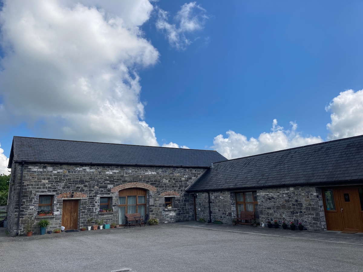 Partially OutlinedCastle, unclassified · 1.5 mi
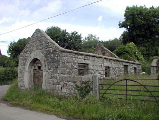 forge/smithyforge/smithy · 1.5 mi
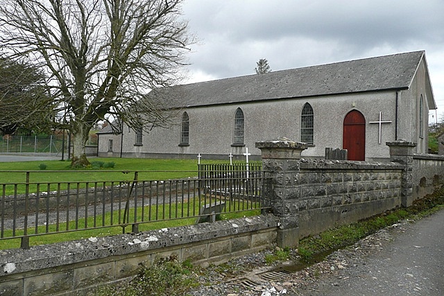 Church (in Ruins)Church · 1.7 mi
 Tinoran HillMountain / peak · 1.9 mi
 Bolton CastleCastle, tower house · 2.1 mi
 European LarchEuropean Larch · 2.7 mi
 Castledermot Round TowerHeritage attraction · 3.6 mi
 Rahill Church (in ruins), GraveyardChurch · 3.7 mi
 Franciscan FriaryHeritage attraction · 3.7 mi