What is recorded here
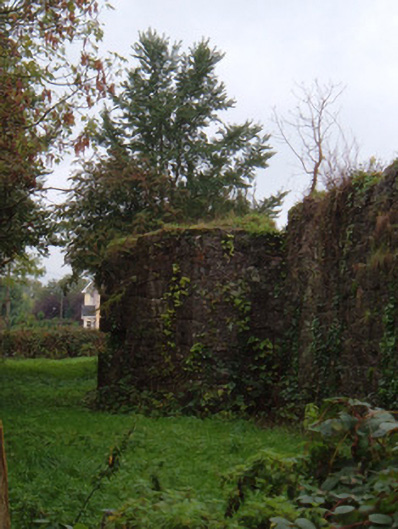
Curraheen holds a levelled earthen ringfort wide enough for dozens of people to circle before collapsing inward. It appeared on the 1842 survey as a marked enclosure, yet age and pasture have reduced it to a shallow saucer above a north-facing slope. The faded bank still traces a room larger than any ordinary house, inviting imagination about the lives that turned it into shape.
In pasture, on level ground above N-facing slope. Depicted as hachured circular enclosure (diam. c. 35m) on 1842 OS 6-inch map. Levelled; roughly circular, saucer-shaped area (38m N-S; 34m E-W) defined by low broad earthen bank (int. H 0.9m; ext. H 0.7m), with faint trace of external fosse as shallow depression. Shadow site of circular enclosure visible in aerial photograph (CASAP), with possible annexe (CO019-070002-) on SE side.
The above description is derived from the published 'Archaeological Inventory of County Cork. Volume 4: North Cork' (Dublin: Stationery Office, 2000). In certain instances the entries have been revised and updated in the light of recent research.
Date of upload/revision: 14 January 2009
The monument record does not grant public access. Check the route and ask the landowner before entering private land.
- What survives
- Recorded monument
Places near here
 Enclosure in Dromleigh (condons and Clongibbon By.)Enclosure · 538 yd
 Enclosure in Curraheen (condons and Clongibbon By.)Enclosure · 781 yd
 KilnKiln, corn-drying · 1.1 mi
 barracksbarracks · 1.3 mi
 Statue of Saint FanahanMemorial · 1.6 mi
 White Knights Tower (Site of)Castle, unclassified · 1.7 mi
 Mitchelstown Town MapVisitor information · 1.7 mi
 John MandevilleMemorial · 1.7 mi
 Carriganoura Castle (in Ruins)Castle, tower house · 1.7 mi
 FlagCave · 2.1 mi
 Kilclooney WoodWood · 4.6 mi
 St Dominick's WellSpring · 4.7 mi