
What is recorded here
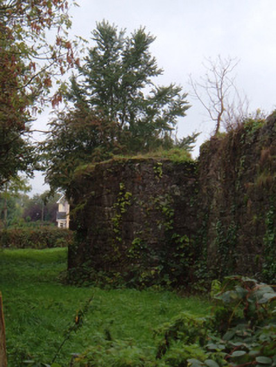
In flat pasture. Depicted as curved field fence c. S->NNE on 1842, 1905 and 1935 OS 6-inch maps. Roughly circular area defined S->NNE by arc of field fence and NNE->SSE by arc of low earthen bank; area within arc of earthen bank is now a pond c. 1m below ground level. Lime kiln indicated on 1842 OS 6-inch map, roughly on line of E bank; no visible surface trace.
The above description is derived from the published 'Archaeological Inventory of County Cork. Volume 4: North Cork' (Dublin: Stationery Office, 2000). In certain instances the entries have been revised and updated in the light of recent research.
Date of upload/revision: 14 January 2009
The monument record does not grant public access. Check the route and ask the landowner before entering private land.
- What survives
- Recorded monument
Places near here
 Fulacht fia in FlemingstownFulacht fia · 742 yd
 Enclosure in Curraheen (condons and Clongibbon By.)Enclosure · 843 yd
 KilnKiln, corn-drying · 1.4 mi
 Caherdrinny Castle (in Ruins)Castle, tower house · 1.5 mi
 barracksbarracks · 1.6 mi
 Statue of Saint FanahanMemorial · 1.8 mi
 Carriganoura Castle (in Ruins)Castle, tower house · 1.9 mi
 FlagCave · 1.9 mi
 Mitchelstown Town MapVisitor information · 2.0 mi
 John MandevilleMemorial · 2.0 mi
 St Dominick's WellSpring · 4.4 mi
 Kilclooney WoodWood · 4.7 mi
Other information
Photo: Credit not shown in the picture search · Rights wording not checked; contact us if this picture should be removed