What is recorded here
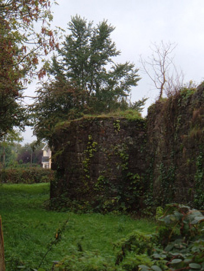
Remains of limestone boundary walls to former barracks, c. 1800, with remains of handball alley to site. Building to site in use. Complex comprises random rubble limestone walls with cut tooled limestone quoins, having central angled projections to west, south and east elevations with gun loops. Blocked entrance and door opening to west elevation flanked by dressed stone piers, and with painted limestone entrance to north perimeter, also flanked by piers. Single-storey building to north-east corner possibly incorporates fabric from earlier buildings. Ball alley to north-west, comprising three-sided alley with rendered back wall and coursed rubble limestone sloping side walls, and may be part of original barracks buildings.
This former military barracks was described by Lewis as being "a neat range of buildings adapted for three officers and seventy-two non-commissioned officers and privates." the buildings were burned in 1922 and demolished in the 1940s. The perimeter walls are substantially intact, and with their bastions and other features, are an important reminder of the town's military heritage.
From the Buildings of Ireland (National Inventory of Architectural Heritage) record 20818110
This does not grant access. Most recorded buildings are privately owned; view them only from public ground unless the owner allows entry.
Places near here
Photo credits
- National Inventory of Architectural Heritage
- Neil Theasby, Geograph · CC BY-SA 2.0
- john salter, Geograph · Creative Commons Attribution-ShareAlike 2.0
- Mike Searle, Geograph · CC BY-SA 2.0
- Colin Park, Wikimedia Commons · CC BY-SA 2.0
- CaitNi, Wikimedia Commons · CC BY-SA 4.0
Grave YardGraveyard · 239 yd Saint George's Church (Brigown)Church/chapel · 288 ydCoill BeagHouse · 302 yddemesne walls/gates/railings324 ydStatue of Saint FanahanMemorial · 419 ydstore/warehouse491 ydMitchelstown Town MapVisitor information · 611 ydJohn MandevilleMemorial · 627 ydGrave YardGraveyard · 3.9 miDunmahon Castle (in Ruins)Bawn · 5.3 miGlanworth Castle (in Ruins)Castle, Anglo-Norman masonry castle · 6.1 miCarrigeenamronetyMountain / peak · 7.3 mi
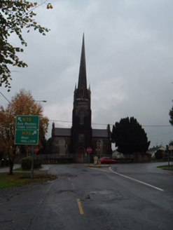 Saint George's Church (Brigown)Church/chapel · 288 yd
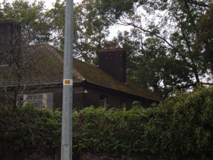 Coill BeagHouse · 302 yd
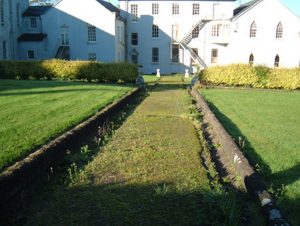 demesne walls/gates/railings324 ydStatue of Saint FanahanMemorial · 419 yd
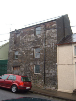 store/warehouse491 ydMitchelstown Town MapVisitor information · 611 yd
 John MandevilleMemorial · 627 yd
 Grave YardGraveyard · 3.9 mi
 Dunmahon Castle (in Ruins)Bawn · 5.3 mi
 Glanworth Castle (in Ruins)Castle, Anglo-Norman masonry castle · 6.1 mi
 CarrigeenamronetyMountain / peak · 7.3 mi
More historic places in County Cork · All of County Cork
What do you know about this place?