What is recorded here
Crover’s fairy fort lost its shape when a house took the field, leaving only a short earthen bank at the south east. That much is clear. The interesting part is what the bank still remembers: pressure, boundary, exclusion, or the leg of a trap. A ringfort may have stood there, but the surviving line no longer answers to human ownership. It marks the place where the land stopped pretending it was ordinary.
Depicted as a tree-ring on OS 1836 and 1876 eds. Site is now largely occupied by a modern dwelling. All that survives is a very short stretch of earthen bank at SE. Otherwise nothing visible at ground level. The site may have been merely a landscape feature.
The above description is derived from the published 'Archaeological Inventory of County Cavan' (Dublin: Stationery Office, 1995). In certain instances the entries have been revised and updated in the light of recent research.
Date of upload/revision: 22 December 2008
The monument record does not grant public access. Check the route and ask the landowner before entering private land.
- What survives
- Recorded monument
Places near here
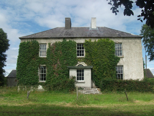 Woodlawnhouse · 608 yd
 In Loving Memory of Killian CaseyMemorial · 958 yd
 Dún na SíogaArchaeological place · 1156 yd
 Four Half MoonsEnclosure · 1180 yd
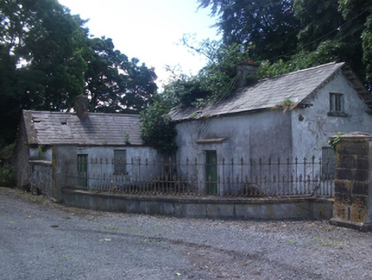 gate lodgegate lodge · 1349 yd
 Crover Old Castle (in Ruins)Castle, tower house · 1626 yd
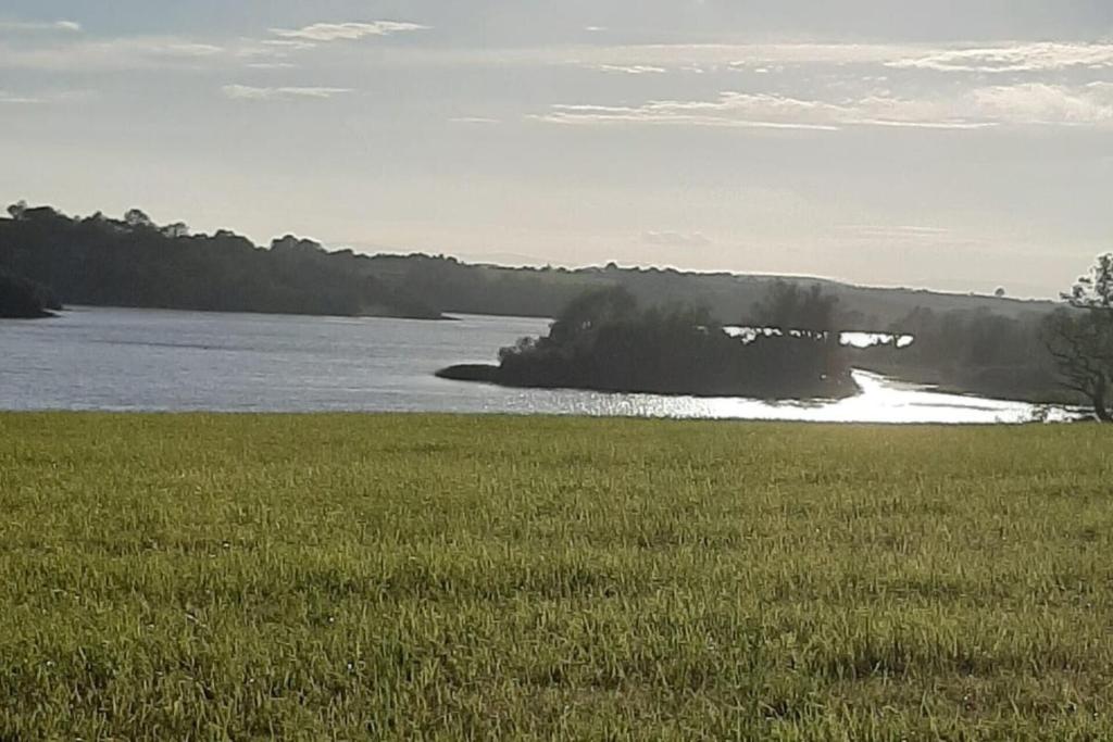 Dinner IslandIslet · 1.1 mi
 Stony IslandIslet · 1.2 mi
 CastleCastle, motte · 1.4 mi
 Deer ParkWood · 2.2 mi
 Muldarry PointHeadland · 2.2 mi
 Ross BayBay · 2.2 mi