What is recorded here
Fairy forts are often called that because people stopped believing the truth: these were human homes, farmed and defended before memory faded. In Croaghnacree the ring keeps its shape on a NW-facing slope, with a raised interior, faint bank and possible wide entrance toward the NE. Cows may walk across it now, but the ground still distinguishes inside from outside, as if household life had merely changed rather than disappeared.
In pasture, on NW-facing slope, on E side of stream valley. Circular, raised area (32.5m E-W; 30m N-S) defined by scarp (H c. 1m), topped by remains of low bank, highest to SE (H 0.5m); intervening shallow fosse; low external bank (H 0.4m) to NW and N. Possible entrance (Wth 7.8m) to NE.
The above description is derived from the published 'Archaeological Inventory of County Cork. Volume 4: North Cork' (Dublin: Stationery Office, 2000). In certain instances the entries have been revised and updated in the light of recent research.
Date of upload/revision: 14 January 2009
The monument record does not grant public access. Check the route and ask the landowner before entering private land.
- What survives
- Recorded monument
Places near here
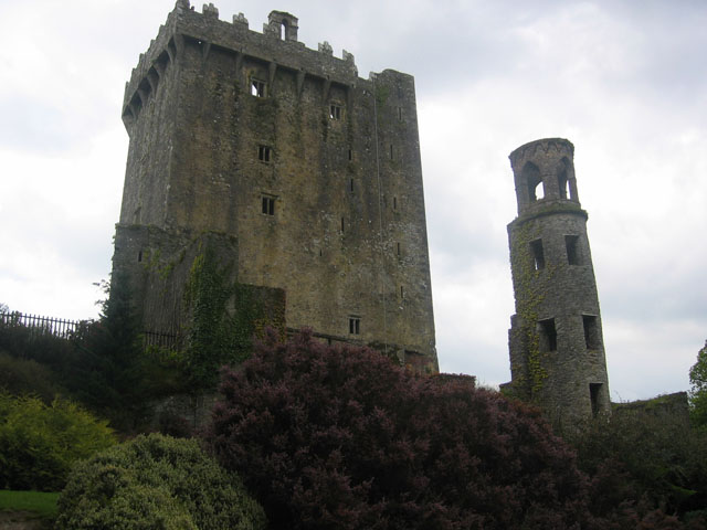 TurretDovecote · 382 yd
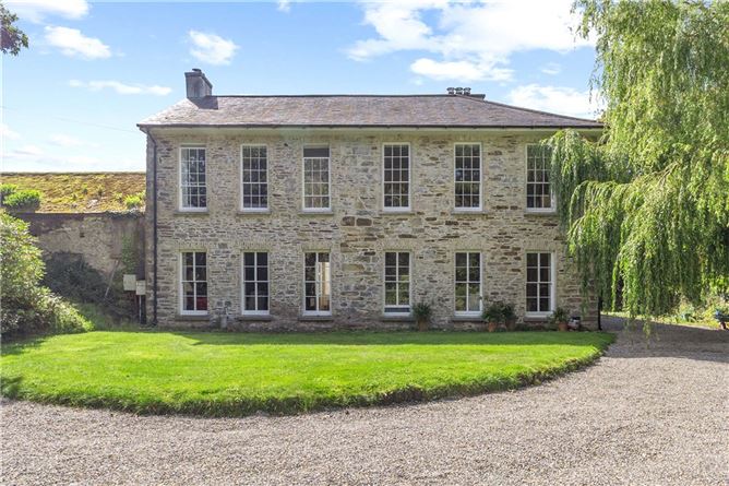 Enclosure in Annakisha NorthEnclosure · 602 yd
 Saffronhill Cottagecountry house · 740 yd
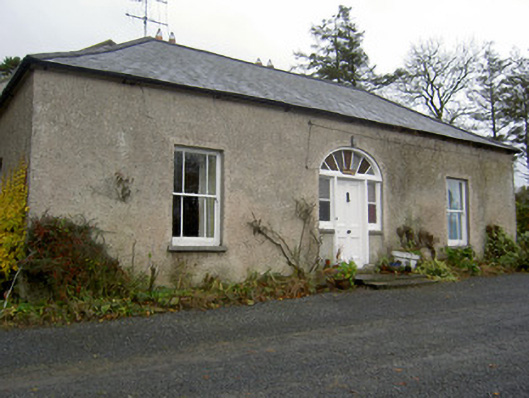 Hermitagehouse · 742 yd
 Scots PineScots Pine · 843 yd
 Doneraile Courtornamental canal/lake · 1514 yd
 Pedunculate OakPedunculate Oak · 1612 yd
 Doneraile HouseHeritage attraction · 1.1 mi
 Doneraile Castle (Site of)Castle, unclassified · 1.4 mi
 Smith's WellSpring · 1.8 mi
 Shanballymore Castle (Site of)Castle, unclassified · 4.1 mi
 In loving memory of Elvis O'DonoghueMemorial · 5.9 mi