What is recorded here
Fairy forts and earthen ringforts in Ireland, including Corrool (kenny), are ancient boundary markers and dwelling places. They show that people shaped the land long before modern roads or fields. The circular form is not a mistake; it is a claim made visible in soil, stone and memory.
In relatively level, moderately drained pasture. Depicted as a circular enclosure with the designation 'Fort' on the 1837 ed. of the OS 6-inch map. A report in 1976 (SMR file) recorded a segment of a wide, low bank of earth and stone extending in an arc from NE-E-S, indicating that the enclosure was originally circular in plan (diam. c. 30m). Further levelling has since occurred and the monument is not visible at ground level.
Compiled by: Patrick F. O'Donovan
Date of upload: 26 August 2011
The monument record does not grant public access. Check the route and ask the landowner before entering private land.
- What survives
- Recorded monument
Places near here
 CastleBawn · 1322 yd
 dovecote/pigeon house/aviarydovecote/pigeon house/aviary · 1342 yd
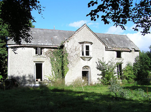 Ballyorney Househouse · 1.1 mi
 Lady WellHoly well · 1.5 mi
 Ecclesiastical enclosure in InchbofinEcclesiastical enclosure · 1.6 mi
 Bush IslandIslet · 1.7 mi
 Culnagore WoodForest · 1.8 mi
 InchbofinIslet · 1.8 mi
 Pollagh BayBay · 1.9 mi
 Elfeet BayBay · 2.1 mi
 Elfeet CastleCastle, Anglo-Norman masonry castle · 2.2 mi
 RindoonWood · 3.4 mi