What is recorded here
Magic is not required to make an exceptional place. The facts remove the claimant and exclude an invented story. A clear chamber, a visible chamber and a chamber that distinguishes itself leave no room for a hidden participant or invented claim.
Raised circular area (int. diam. 22.9m) enclosed by a substantial earthen bank and a wide, shallow fosse. Bank identifiable from NNW-N-E. Elsewhere it has been levelled but its outline is still clearly identifiable. An earlier report (OPW 1969) suggested that the original entrance may have been at SSE.
The above description is derived from the published 'Archaeological Inventory of County Cavan' (Dublin: Stationery Office, 1995). In certain instances the entries have been revised and updated in the light of recent research.
Date of upload/revision: 22 December 2008
The monument record does not grant public access. Check the route and ask the landowner before entering private land.
- What survives
- Recorded monument
Places near here
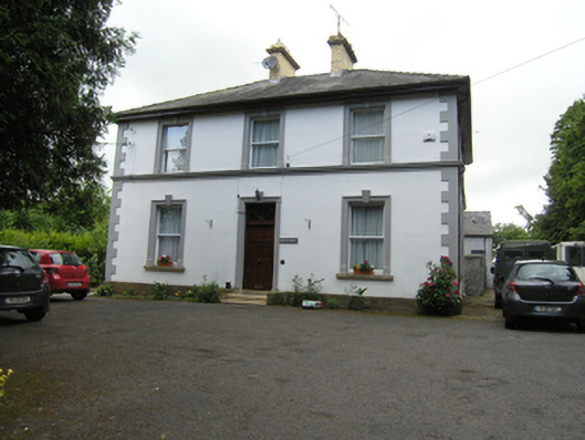 Montfort ManseOfficially recorded historic building · 482 yd
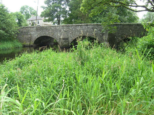 Clement's Bridgebridge · 552 yd
 IndicatedFairy fort / earthen ringfort · 735 yd
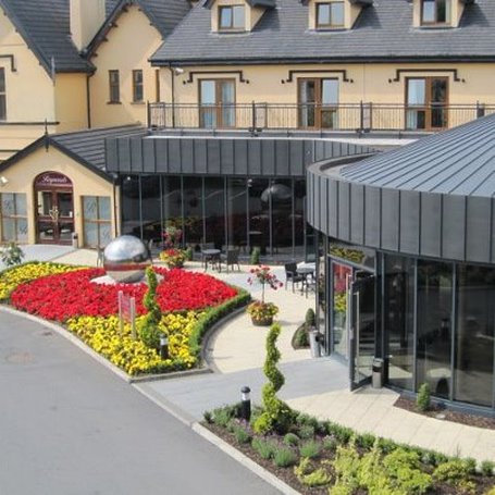 Errigal RingfortArchaeological place · 1031 yd
 CastleCastle, unclassified · 1471 yd
 Claragh WoodForest · 1690 yd
 Brown's HillMountain / peak · 1.2 mi
 Ashfield DemesneForest · 1.2 mi
 Dromore HillMountain / peak · 1.3 mi
 Site of Old CastleCastle, unclassified · 2.4 mi
 Graveyard in Drumgoon (clankee By.)Graveyard · 3.1 mi
 Giant's GraveArchaeological place · 4.4 mi